What is recorded here
Fairy fort in Bellsgrove, County Cavan: a circular earthen ring about thirty-eight metres across, marked Fort on the 1836 and 1876 maps. Its eastern and southern edge has been absorbed into a field boundary, while the rest has sunk from sight. Under the grass may still lie a shallow ditch and a ridged bank, a small house or byre forgotten by the land but never entirely lost.
Marked 'Fort' on OS 1836 and 1876 eds. Apparently originally circular (int. diam. c. 38m) enclosed by an earthen bank and a fosse. From E-S-SW the perimeter has been much modified and incorporated into the field boundary. Otherwise, nothing visible at ground level.
The above description is derived from the published 'Archaeological Inventory of County Cavan' (Dublin: Stationery Office, 1995). In certain instances the entries have been revised and updated in the light of recent research.
Date of upload/revision: 22 December 2008
The monument record does not grant public access. Check the route and ask the landowner before entering private land.
- What survives
- Recorded monument
Places near here
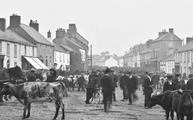 IndicatedFairy fort / earthen ringfort · 197 yd
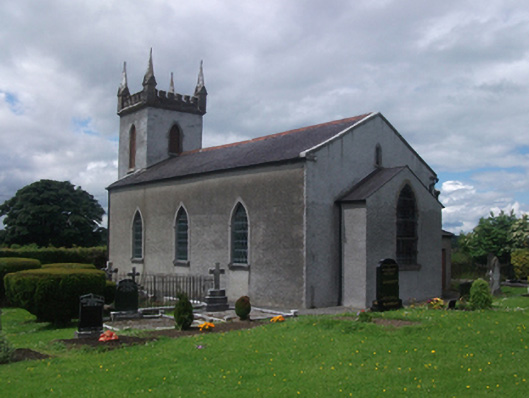 St Paul's Church of Ireland Churchchurch/chapel · 298 yd
 St. Pauls Ch.Church · 320 yd
 CastleCastle, motte · 467 yd
 Crane IslandIslet · 1.1 mi
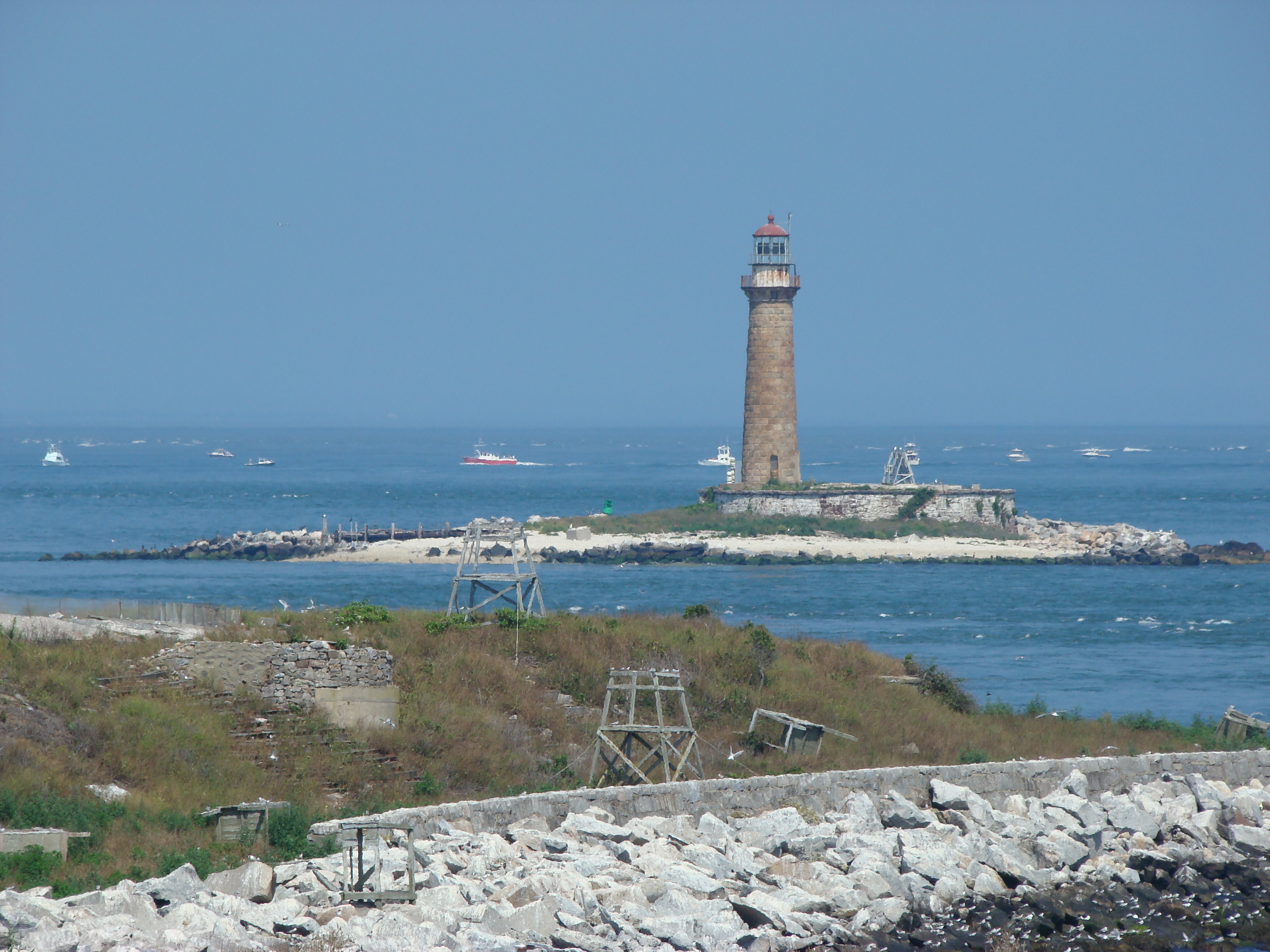 Gull IslandIslet · 1.2 mi
 Four Half MoonsEnclosure · 1.3 mi
 Aghakilmore LowerMountain / peak · 1.8 mi
 Deer ParkWood · 1.9 mi
 In Loving Memory of Killian CaseyMemorial · 2.0 mi
 Crover Old Castle (in Ruins)Castle, tower house · 2.1 mi
 Muldarry PointHeadland · 2.2 mi