What is recorded here
Fairy forts are human ringforts misnamed by later folklore. In Bellanagall the earthwork sits on a drumlin ridge, about twenty-five metres across, with its opening facing north. People built it, lived there, and left it to grass. The fairies entered only after the humans stopped remembering their own name for it.
Located on the NE shoulder of a NE-SW drumlin ridge. It is depicted as a U-shaped hachured feature (dims c. 25m N-S; 25m E-W) open to the N only on the 1907 edition of the OS 25-inch map. A slight grass-covered mound is visible on aerial images (OSI 1995, 2005).
The above description is derived from the published 'Archaeological Inventory of County Monaghan' (Dublin: Stationery Office, 1986). In certain instances the entries have been revised and updated in the light of recent research.
Date of revision: 14 December 2017
The monument record does not grant public access. Check the route and ask the landowner before entering private land.
- What survives
- Recorded monument
Places near here
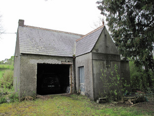 Ballinagall Orange HallOfficially recorded historic building · 551 yd
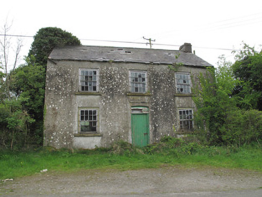 Killymarly National Schoolschool · 736 yd
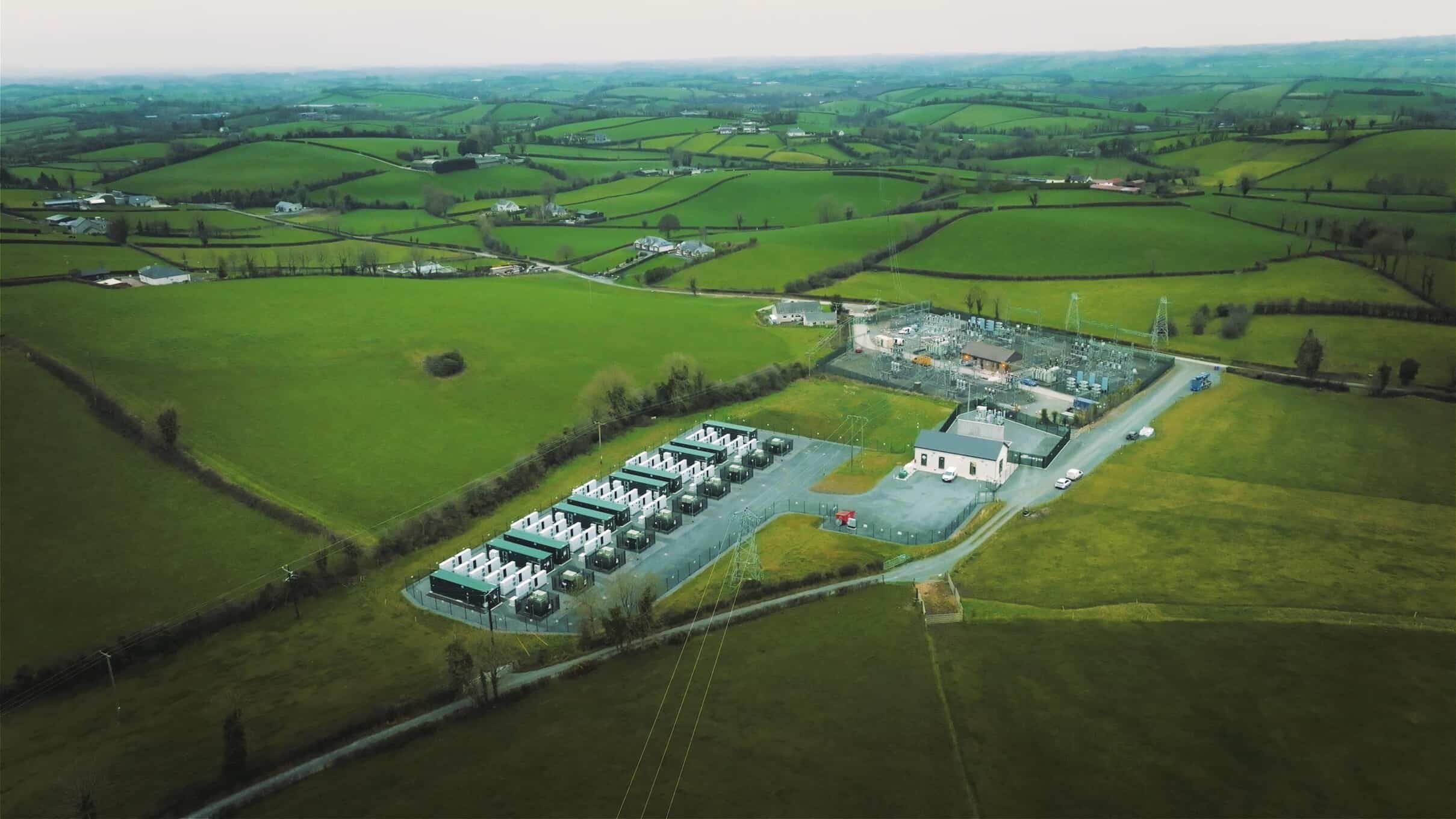 Lisdrumdoagh fortHilltop enclosure · 1306 yd
 Fulacht fia in Annahagh (monaghan By; Monaghan Par.)Fulacht fia · 1.1 mi
 Caldwells' WoodWood · 1.6 mi
 Bawn in Roosky (monaghan By., Monaghan Par.)Bawn · 1.7 mi
 Rossmore MonumentMemorial · 1.8 mi
 Liscarney WoodWood · 1.8 mi
 Monaghan County MuseumMuseum · 1.8 mi
 Castleshane WaterfallWaterfall · 2.0 mi
 Banba GiantHeritage attraction · 2.8 mi
 Battle of ClontibretBattlefield · 4.3 mi