What is recorded here
Located on the NE shoulder of a NE-SW drumlin ridge. It is depicted as a U-shaped hachured feature (dims c. 25m N-S; 25m E-W) open to the N only on the 1907 edition of the OS 25-inch map. A slight grass-covered mound is visible on aerial images (OSI 1995, 2005).
The above description is derived from the published 'Archaeological Inventory of County Monaghan' (Dublin: Stationery Office, 1986). In certain instances the entries have been revised and updated in the light of recent research.
Date of revision: 14 December 2017
The monument record does not grant public access. Check the route and ask the landowner before entering private land.
- What survives
- Recorded monument
Places near here
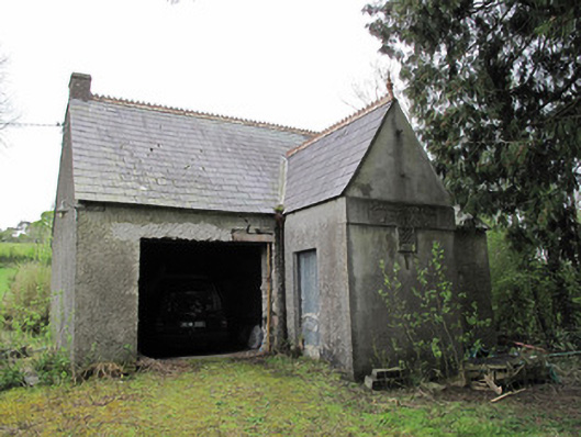 Ballinagall Orange HallOfficially recorded historic building · 551 yd
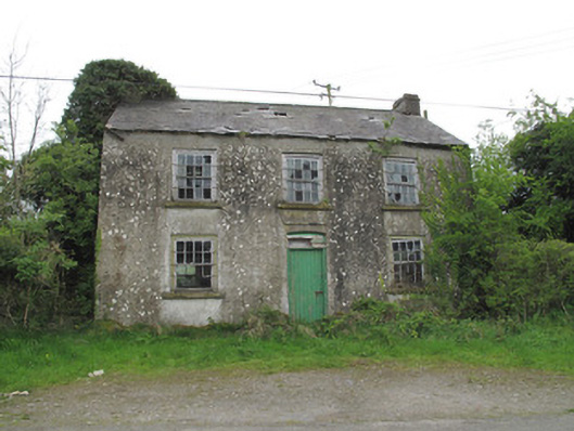 Killymarly National Schoolschool · 736 yd
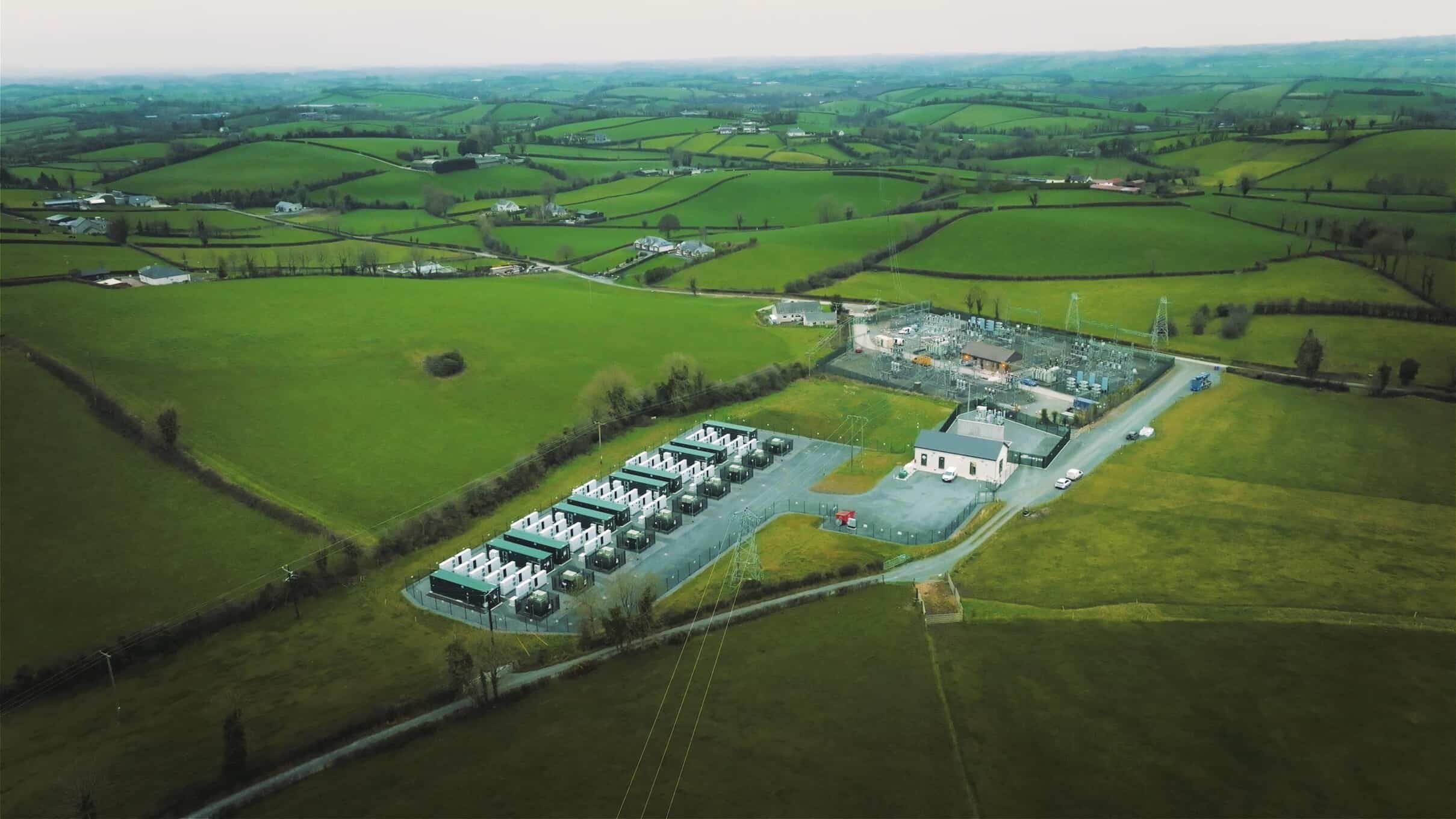 Lisdrumdoagh fortHilltop enclosure · 1306 yd
 Fulacht fia in Annahagh (monaghan By; Monaghan Par.)Fulacht fia · 1.1 mi
 Caldwells' WoodWood · 1.6 mi
 Bawn in Roosky (monaghan By., Monaghan Par.)Bawn · 1.7 mi
 Rossmore MonumentMemorial · 1.8 mi
 Liscarney WoodWood · 1.8 mi
 Monaghan County MuseumMuseum · 1.8 mi
 Castleshane WaterfallWaterfall · 2.0 mi
 Banba GiantHeritage attraction · 2.8 mi
 Battle of ClontibretBattlefield · 4.3 mi