What is recorded here
Bealduvroga is a common name for a ringfort, but this one has vanished. The 1841 survey showed a circular embankment twenty-five metres wide on a gentle western slope, yet modern eyes see only smooth pasture where the boundary once stood. Perhaps ploughs and patience erased the fort, or perhaps the fairies withdrew their shape when human attention turned elsewhere. Either way, the land keeps the absence clean, offering no rubble or ridge to prove the circle existed.
In undulating pasture, on gentle W-facing slope. Monument, depicted as embanked circular enclosure (diam. c. 25m) on 1841 OS 6-inch map, has been levelled. No trace of monument evident when inspected.
Compiled by: Denis Power
Date of upload: 26 August 2011
The monument record does not grant public access. Check the route and ask the landowner before entering private land.
- What survives
- Recorded monument
Places near here
 Burial GroundBurial ground · 1134 yd
 Lissamota CastleCastle · 1164 yd
 Dromard Housecountry house · 1322 yd
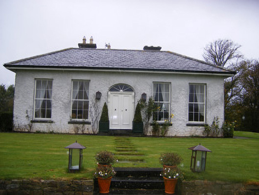 Fort William Housecountry house · 1.0 mi
 Castle (in ruins)Castle, tower house · 1.2 mi
 Enclosure in KilleaEnclosure · 1.3 mi
 Flat cemetery in Kiltenan SouthFlat cemetery · 2.4 mi
 Famine stoneMemorial · 2.6 mi
 KnockfeerinaMountain / peak · 3.2 mi
 LaghtpatrickSpring · 3.4 mi
 Lady's WellSpring · 3.7 mi
 European ashEuropean ash · 3.7 mi