What is recorded here
Fairy fort in Bawn (moydow By.) is a slightly raised circular area about 25m across, bounded by a low earth-and-stone bank and an external fosse on a north-facing pasture slope. Its entrance has vanished under grass and time, leaving only a faint scarp to mark the edge of what was once a complete enclosure. People may have lived, hidden or gathered there before the land was divided into fields, but no name or date survives to confirm it. The fort remains visible enough to walk around and imagine, yet resistant to certainty.
On a N-facing slope in pasture. A report in 1976 (SMR file) noted that this slightly raised circular area (diam. c. 25m) was defined by a bank of earth and stone and an external fosse. It is defined by a scarp (H 0.2-0.4m). The original entrance is not recognisable.
Compiled by: Patrick F. O'Donovan
Date of upload: 26 August 2011
The monument record does not grant public access. Check the route and ask the landowner before entering private land.
- What survives
- Recorded monument
Places near here
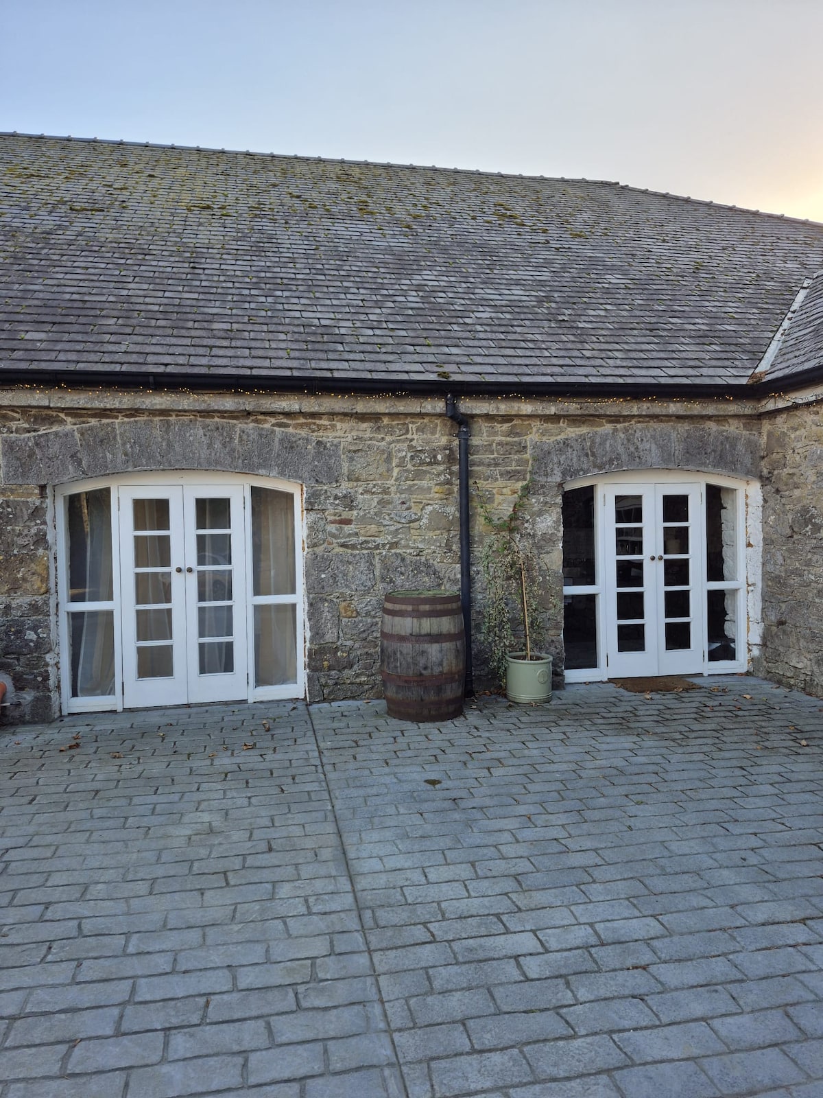 Enclosure in Bawn (moydow By.)Enclosure · 639 yd
 BarrowBarrow, bowl-barrow · 656 yd
 Bawn Castle & NunneryHouse, fortified house · 1312 yd
 Bawn in CastlereaBawn · 1483 yd
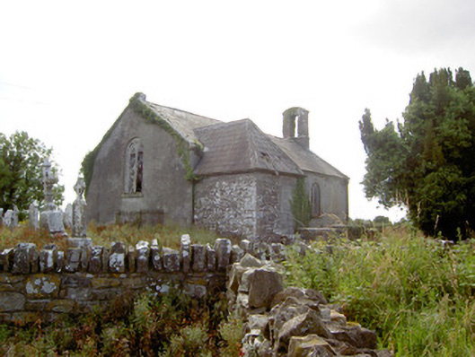 Moydow Churchchurch/chapel · 1568 yd
 Church in Moydow GlebeChurch · 1571 yd
 National Famine WayWalking route · 1630 yd
 Graveyard in Curry (ardagh By., Coolamber Ed)Graveyard · 3.1 mi
 First World War MemorialMemorial · 4.3 mi
 Saint Mel's CathedralCathedral · 4.3 mi
 Commons North WalkVisitor information · 9.7 mi
 Wild birdsVisitor information · 9.7 mi