What is recorded here
Fairy fort / earthen ringfort in Baunnaraha, County Kilkenny, Ireland is a ringfort - rath that still holds the shape of human life, even when much of its story has faded. The names, dates and events above are not decoration; they show when the place entered human memory and why it matters. What is missing is not nothing. It is the part that requires observation, judgement and care.
Indicated on the 1st (1839) OS 6-inch map and on the 1900 revision. In October 1972 the monument was inspected in advance of Land Project works. The monument was described as, ‘In undulating hilly country on hill-top site (nearly 700 ft alt.). Central area is natural summit flattened (c. 50 paces internal diameter). Gap on north side (fosse filled in & bank a bit broken down) probably is a modern access entr[ance]. Under grass (a certain amount of scrub inside but mostly on perimeter). Depression W half of interior running 15 paces E-W x 3 paces N-S: c. 3 ft deep may [be] line of wrecked Man-made underground passage. Difficult to see fosse in most places because of dense scrub (furze etc.)’ (NMS file F94/1822/1). The description is accompanied by a rough section of the S side fosse and bank. The monument has been levelled but portion of the NE-E-SE bank and fosse is possibly incorporated in the field boundary which runs along the E edge. A public road runs roughly E-W along the N edge of the enclosure, on the 1st ed. map appears to have truncated it.
Compiled by: Jean Farrelly
Date of upload: 6 July 2020
A fairy fort or earthen ringfort in Baunnaraha, likely an early-medieval agricultural or defensive site, is marked on the 1839 and 1900 Ordnance Survey maps and was noted in 1972 as situated on a hilltop in undulating terrain. Local tradition associates such sites with fairy lore, often regarded as the dwellings of supernatural beings.
The monument record does not grant public access. Check the route and ask the landowner before entering private land.
- What survives
- Recorded monument
Places near here
 Enclosure in BaunnarahaEnclosure · 308 yd
 IndicatedEnclosure · 529 yd
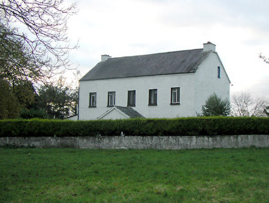 Mountgale Housefarm house · 1064 yd
 Site of CastleCastle, unclassified · 1.5 mi
 Bawn in BoolysheaBawn · 1.5 mi
 St. Michaels Church (in ruins)Church · 1.9 mi
 Ballykeeffe Mass RockNamed rock · 2.8 mi
 Ballykeefe WoodForest · 3.2 mi
 Ballykeefe QuarryCliff · 3.3 mi
 Ballykeefe AmphitheatreHeritage attraction · 3.4 mi
 Saint Brigid's WellSpring · 3.4 mi
 Killeen Fox CovertForest · 3.6 mi