What is recorded here
Fairy fort / earthen ringfort in Baunnanooneeny is a 25-metre circular earthwork in County Cork, Ireland, still visible on old survey maps and marked as a rath. It sits below a ridge crest on a SW-facing slope, with a low bank, a shallow ditch trace, and an interior tilted by the hillslope. People may have lived, herded, or gathered there before quarrying scarred the surface, while local imagination still calls it a fairy fort because ordinary history has thinned into shape and shadow.
In pasture, below crest of ridge on SW-facing slope. Depicted as hachured circular enclosure (diam. c. 25m) on 1842, 1903 and 1936 OS 6-inch maps. Roughly circular area (25m N-S; 22m E-W) enclosed by earthen bank (int. H 0.7m; ext. H 0.8m) NW->SE; scarp (H 0.6m) elsewhere. Faint trace of fosse survives in parts. Interior slopes gently down to S; raised on SW side to compensate for hillslope; surface disturbed by quarrying.
The above description is derived from the published 'Archaeological Inventory of County Cork. Volume 4: North Cork' (Dublin: Stationery Office, 2000). In certain instances the entries have been revised and updated in the light of recent research.
Date of upload/revision: 14 January 2009
The monument record does not grant public access. Check the route and ask the landowner before entering private land.
- What survives
- Recorded monument
Places near here
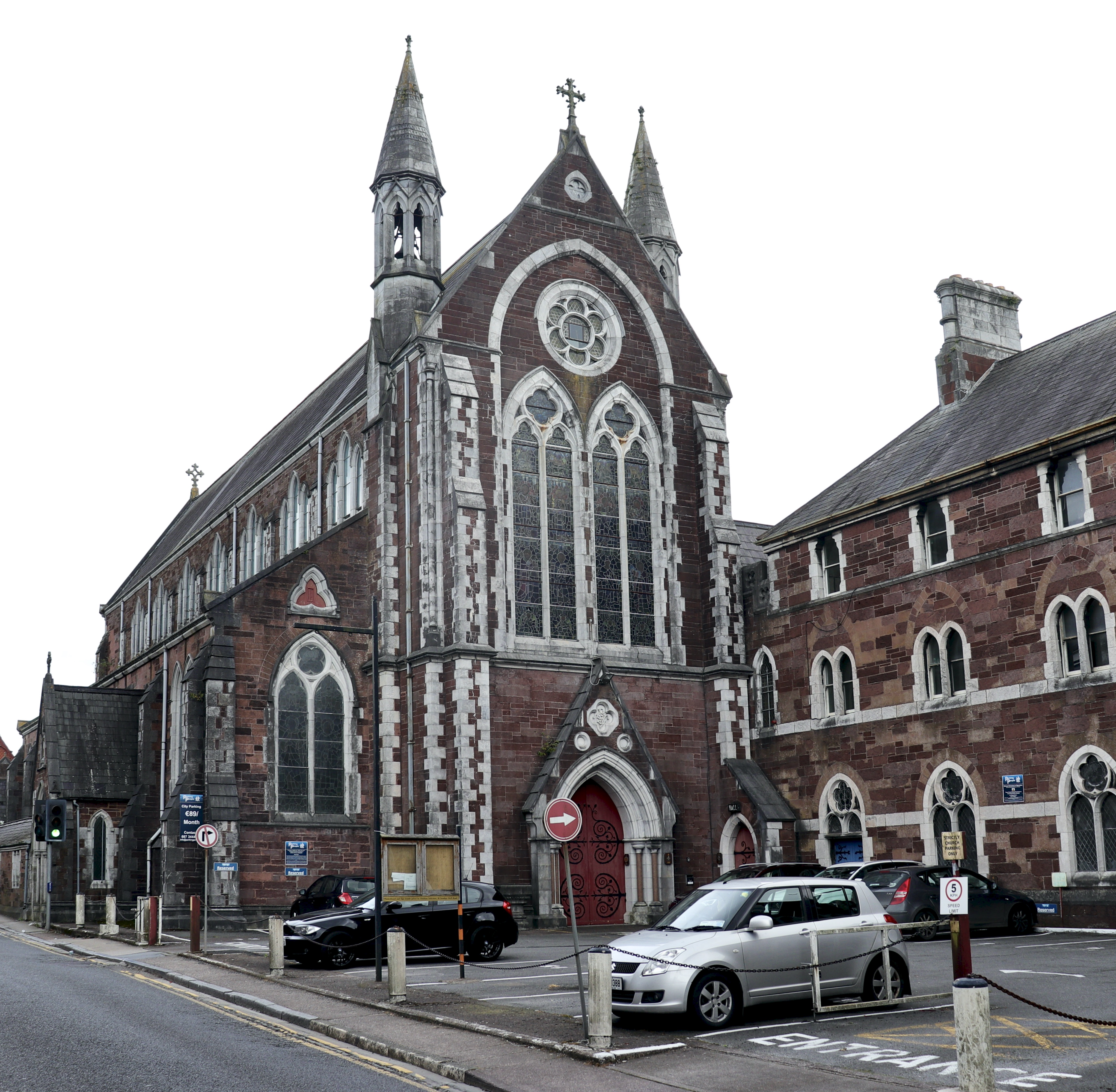 Church in BaunnanooneenyChurch · 733 yd
 Folacht FiadhFulacht fia · 764 yd
 schoolschool · 1144 yd
 Kilclooney WoodWood · 1451 yd
 Mound in KnockagarryMound · 1.2 mi
 CastleCastle, unclassified · 2.2 mi
 Carriganoura Castle (in Ruins)Castle, tower house · 2.6 mi
 CarrigeenamronetyMountain / peak · 2.9 mi
 Flat cemetery in Ballyenahan NorthFlat cemetery · 4.0 mi
 John MandevilleMemorial · 4.6 mi
 Mitchelstown Town MapVisitor information · 4.6 mi
 North Meadow WoodForest · 4.8 mi