What is recorded here
In pasture, on a gentle S-facing slope, in SE corner of field. Oval area (dims. 37m N-S; 34m E-W) defined by scarp (Wth 4m; H 1.4m) except where a low denuded bank is preserved (Wth 10.75m; int. H 0.75m; ext. H 1.3m) N-NNE-E. Scarp (Arc c. 9m) eroded by sheep at W. External fosse (basal Wth 3m; total Wth 8.75m; D 0.75m) narrows to E and S where it is truncated by field boundaries (long-axis E-W to S and long-axis NW-SE to E). Fosse waterlogged SE-SSW. Probable causewayed entrance (Wth c. 5m) at SSW. Interior in grass and tends downslope to S with prevalent slope. According to Cahill (1982) there is a possible Man-made underground passage in the NE quadrant.
Compiled by: Jean Farrelly
Date of upload: 26 August 2011
The monument record does not grant public access. Check the route and ask the landowner before entering private land.
- What survives
- Recorded monument
Places near here
 Settlement desertedSettlement deserted, medieval · 1028 yd
 Barrettstown CastleCastle · 1131 yd
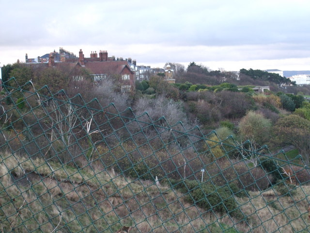 former site of a Ring FortArchaeological place · 1423 yd
 IndicatedRoad, road/trackway · 1688 yd
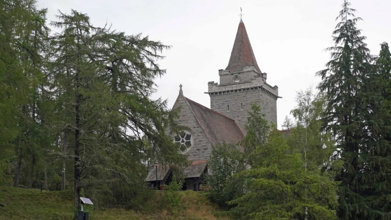 Redcity Church (in ruins)Church · 1.2 mi
 Rathdrum Castle (in ruins)Castle, tower house · 1.3 mi
 European YewEuropean Yew · 2.2 mi
 East GateMemorial · 2.3 mi
 Grove WoodForest · 2.6 mi
 Kilknockan HillMountain / peak · 2.8 mi
 Derryluskan Househouse · 1.2 mi
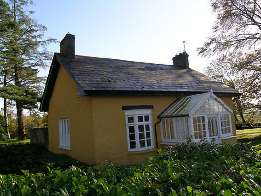 Tullamain Castlegate lodge · 1.3 mi