What is recorded here
Barragarraun holds a subcircular earthen ringfort on an east-facing slope, its fifty-metre bank still standing above the surrounding field. A narrow northern gap suggests an entrance, while a later field wall cuts through the structure at opposite points. The dense interior growth hides whatever life once filled the space, leaving the earth itself to remember the shape of human hands.
On E-facing slope of a low hill. A subcircular rath (c. 50m NW-SE; c. 40m NE-SW), in fair condition, defined by an earthen bank. A gap (Wth 1.5m) is visible at N. The interior, which is raised well above the surrounding field level, is densely overgrown. A field wall cuts through the monument at NW and SE.
Compiled by: Galway Archaeological Survey, UCG
Date of upload: 6 January 2017
The monument record does not grant public access. Check the route and ask the landowner before entering private land.
- What survives
- Recorded monument
Places near here
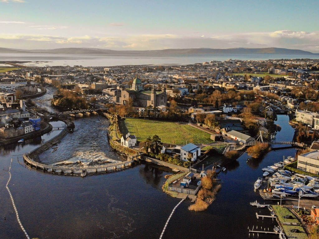 IndicatedFairy fort / stone ringfort · 542 yd
 CaveMan-made underground passage · 1046 yd
 Site of CastleCastle, unclassified · 1176 yd
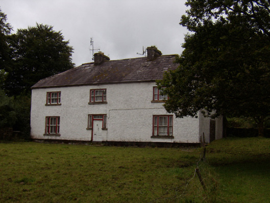 Abbeyville Househouse · 1663 yd
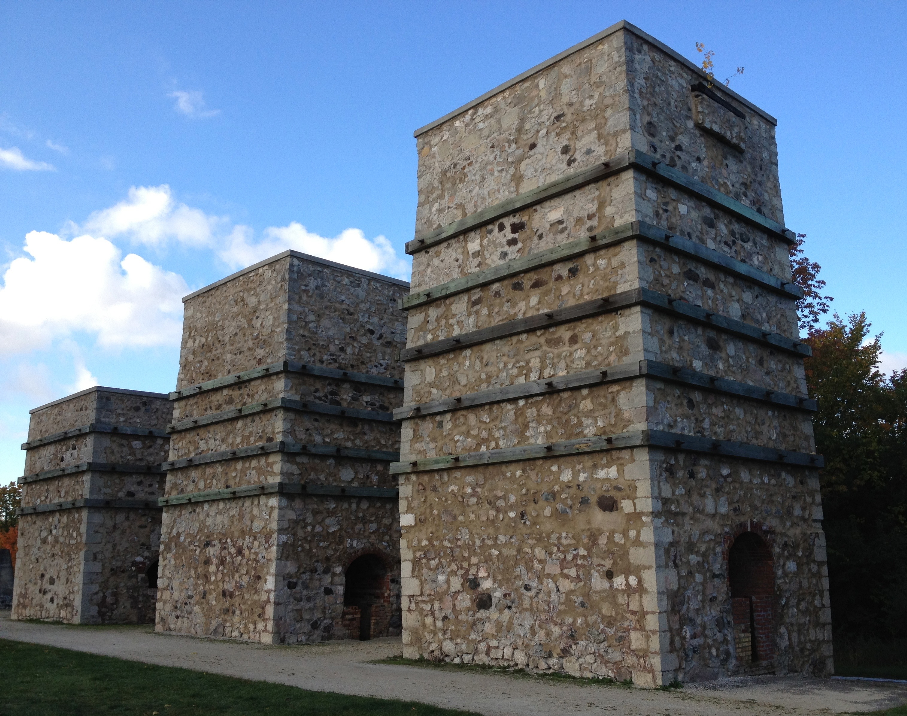 KilnKiln, lime · 1.1 mi
 Ash IslandIslet · 1.3 mi
 Island McCooIslet · 1.7 mi
 CastleCastle, tower house · 1.8 mi
 Long PointHeadland · 2.0 mi
 Scalpeen RockNamed rock · 3.2 mi
 KnockapollboyMountain / peak · 4.8 mi
 Derrybrien Bog SlideHeritage attraction · 5.6 mi