What is recorded here
Three earthen banks and two fosses still circle the Barnaderg North knoll, enclosing a rectangular platform and oval hollow that may have held a house. The fort stands 450m NW of Barnaderg Castle, with a 4m causeway breaking its eastern edge and a later field wall cutting through the SSW. Its precise age and owners have not survived, but the shape of the place suggests people climbed the knoll, entered by a narrow gap, and lived within a boundary they believed strong enough to keep out what the dark could send.
On the summit of a knoll, some 450m NW of Barnaderg Castle (GA044-018----). Well-preserved circular rath (D 43.8m) defined by three banks and two intervening fosses. A field wall cuts the monument at SSW. Entrance causeway (Wth 4m) at E. Within the interior is a raised rectangular platform (N-S; L 17m, Wth 14m), within which is an oval hollow (L 9m, Wth 5m), probably an associated house (GA044-016001-).
The above description is derived from the published 'Archaeological Inventory of County Galway Vol. II - North Galway'. Compiled by Olive Alcock, Kathy de hÓra and Paul Gosling (Dublin: Stationery Office, 1999). In certain instances the entries have been revised and updated in the light of recent research.
Updated by: Olive Alcock
Date of revised upload: 25 August 2015
The monument record does not grant public access. Check the route and ask the landowner before entering private land.
- What survives
- Recorded monument
Places near here
 Field system in Barnaderg NorthField system · 227 yd
 Barnaderg CastleCastle · 523 yd
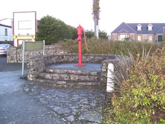 water pumpwater pump · 1396 yd
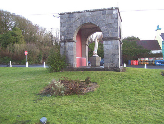 monumentmonument · 1424 yd
 IndicatedSweathouse · 1.3 mi
 Knockmoy AbbeyHeritage attraction · 3.2 mi
 Castle (in ruins)Castle, tower house · 3.8 mi
 European ashEuropean ash · 7.4 mi
 Menlough IRAMemorial · 8.1 mi
 Mass RockNamed rock · 8.6 mi
 KnockmaaWood · 9.4 mi
 Killererin Church (in Ruins)Church · 1680 yd