What is recorded here
Fairy fort / earthen ringfort in Barnacawley is a fairy fort or earthen ringfort in Barnacawley, County Roscommon, Ireland. It occupies a steep south-facing slope on a northwest-southeast ridge. A nineteen-hundred-and-ninety-five description recorded an oval grass-covered area measuring thirty-six metres east-west and twenty-seven point five metres north-south. An earthen bank ran northwest to southeast while a scarp stood along the southeast and southwest edges.
On the steep S-facing slope of a NW-SE ridge. Described in 1995 as an oval grass-covered area (dims 36m E-W; 27.5m N-S) defined by an earthen bank (at N: Wth 3.1m; int. H 0.4m; ext. H 0.5m) NNW-SE and a scarp (H 1.3m at S) SE-SW. The site was truncated by a NNE-SSW field bank and drain at W, and the perimeter was incorporated into a field bank at E. There was no visible fosse or entrance. Part of the bank at N (L c. 10m), and portions of the field banks at W and E were later removed.
Compiled by: Michael Moore
Date of upload: 24 August 2010
The monument record does not grant public access. Check the route and ask the landowner before entering private land.
- What survives
- Recorded monument
Places near here
 Ecclesiastical enclosure in CurreentorpanEcclesiastical enclosure · 681 yd
 Kilcooley Church (Site of)Church · 695 yd
 Druminagh WoodForest · 1275 yd
 Fairymount HillMountain / peak · 1.1 mi
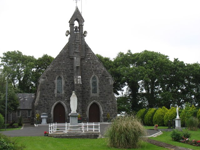 Catholic Church of the Sacred Heartchurch/chapel · 1.2 mi
 Penitential station in Stonepark (frenchpark By., Fairymount Ed)Penitential station · 1.7 mi
 TowerCastle, tower house · 2.3 mi
 Clonalis HouseMuseum · 4.2 mi
 Frenchpark Ho.Castle, unclassified · 4.6 mi
 Square WoodForest · 5.4 mi
 Workhouse MemorialMemorial · 5.6 mi
 Silver IslandIslet · 5.7 mi