What is recorded here
Barleyhill holds a small oval fort where an earthen bank still stands beside a deciduous wood. The grassy center slopes gently eastward, while a broken northern edge suggests the place once welcomed entry rather than resisting it. People may have lived there, tended trees or marked a boundary before the name Fairy fort turned human activity into mystery.
Located on the NW-facing spine of a NNW-SSE ridge and at the N end of a small oval deciduous wood that is defined by an earthen bank. This is an oval grass-covered area (dims 34.5m N-S; 24m E-W) with mature trees and tree stumps that slopes down slightly to the W (H 0.2m) but more to the E (H 1.9m). It is defined by an earthen bank (Wth of base 5-6m; int. H 0.5-0.8m; ext. H 1.1-1.3m), which is incorporated into the bank of the wood NW-NE, and an outer fosse that survives best (Wth of top 6.2m; Wth of base 1.1m; ext. D 0.8m) SE-SW. There is a break in the bank (Wth 3.3m) at NE which could be the original entrance, although it might be damage.
The above description is derived from the published 'Archaeological Inventory of County Meath' (Dublin: Stationery Office, 1987). In certain instances the entries have been revised and updated in the light of recent research.
Compiled by: Michael Moore
Date of revision: 31 August 2018
Amended: 14 December 2022
The monument record does not grant public access. Check the route and ask the landowner before entering private land.
- What survives
- Recorded monument
Places near here
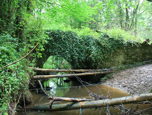 Cabra Castlebridge · 364 yd
 BarleyhillMountain / peak · 633 yd
 Descart Housefarmyard complex · 1105 yd
 IndicatedCrannog · 1.4 mi
 Crannog in DrumboCrannog · 1.4 mi
 Natural Play AreaMemorial · 1.4 mi
 In Memory of Our DadMemorial · 1.5 mi
 Dún a Rí Forest ParkForest · 1.5 mi
 CabraMountain / peak · 1.5 mi
 Castle ruinsCastle, unclassified · 1.6 mi
 Horse-chestnutHorse-chestnut · 1.7 mi
 Lagan castleCastle, tower house · 3.7 mi