What is recorded here
In pasture, on a gentle E-facing slope. Oval area (dims. 28m N-S; 36m E-W) defined by wide earthen bank (Wth 7.2m; int. H 0.75m; ext. H 2.2m), eroded by cattle W-N and reduced to scarp (Wth 5m; H 2m) c. ENE-E, leaving scarp. Intervening fosse (Wth 7.45m; D 0.65m) is well formed. Outer bank (Wth 5.85m; int. H 1.85m; ext H 1.2m) flat-topped SSE-WSW where it tapers off. Outer bank continues intermittently ENE-E and SE-SSE. Causewayed entrance through interior (Wth 4m) and exterior (Wth 9m) banks at SSE. Interior slopes down very gently to E and is covered in trees and briars for most part. Ringfort (TS070-060----) located 180m to SSE.
Compiled by: Jean Farrelly
Date of upload: 26 August 2011
The monument record does not grant public access. Check the route and ask the landowner before entering private land.
- What survives
- Recorded monument
Places near here
 Enclosure in FarransheaEnclosure · 1142 yd
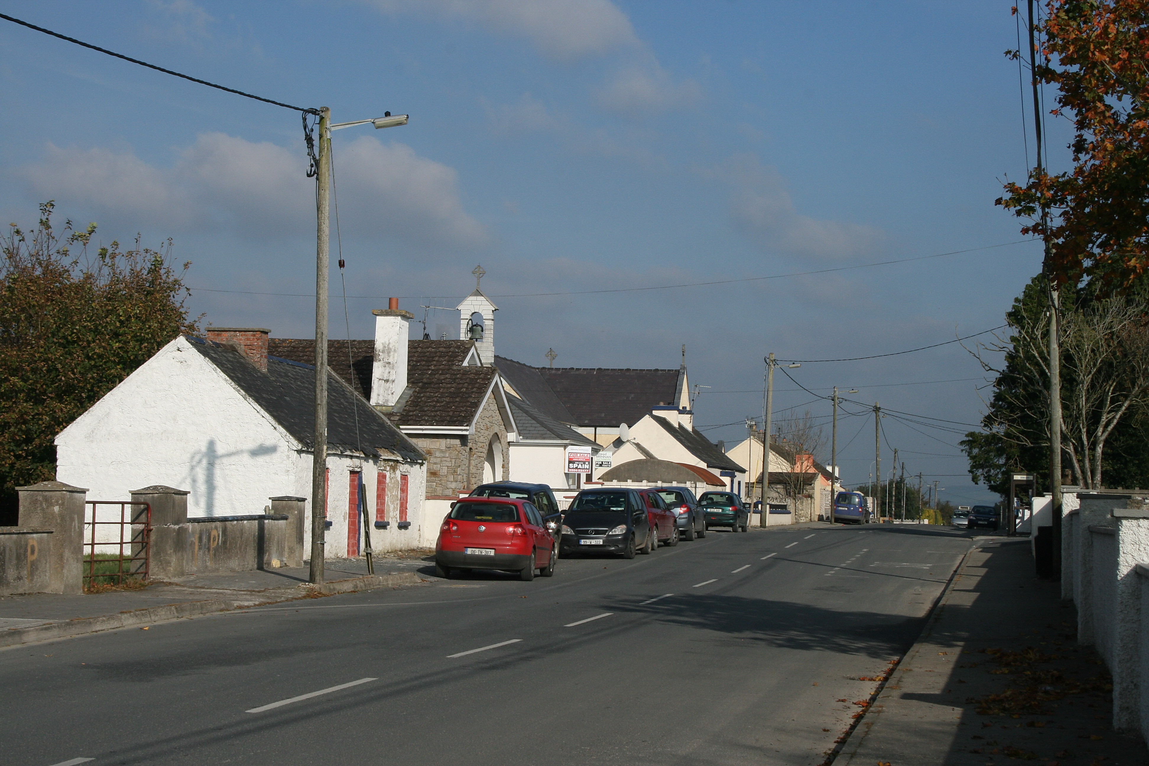 RaheenroeEnclosure · 1412 yd
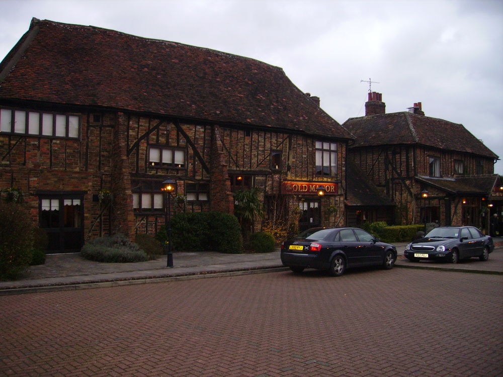 Old Manor Ho. (in ruins)House, 17th century · 1670 yd
 Brook Hillhouse · 1.1 mi
 Clare Castle (in ruins)Castle, hall-house · 1.1 mi
 Ballinard CastleCastle, tower house · 1.2 mi
 Pedunculate OakPedunculate Oak · 1.5 mi
 East GateMemorial · 2.0 mi
 Grove WoodForest · 2.1 mi
 Kilknockan HillMountain / peak · 2.1 mi
 CarrigdotiaMountain / peak · 2.6 mi
 Gobban Saer's GraveArchaeological place · 9.8 mi