What is recorded here
Thirty years of ploughing erased the fairy fort, but the ground still holds the shape of a hand that stopped midway. The ring closed around a small life, a child’s chamber or a lover’s chamber, and the forgetfulness of men is the same force that drives the plough through truth. What is buried is not lost; it is waiting for the hunger that recognizes it.
In pasture, on N-facing slope, c. 350m to W of Beechfield House. Depicted as tree ring on 1842 OS 6-inch map; as hachured circular enclosure (diam. c. 25m) on 1905 and 1937 OS 6-inch maps. No visible surface trace of site. Locally known as grove and consisted of circular area (diam. 20m) enclosed by low bank (H c. 1m) with shallow external fosse; levelled c. 1976. One of two ringforts (CO025-051---) referred to by Grove White (1905-25, vol. 4, 155) as 'two interesting raths' to W of Pencil Hill House (now Beechfield House) where according to Mr R.H. Spratt, of Pencil Hill, 'when excavating one of these a broken bow, among other relics, was discovered. It is engraved, and in fair condition - considered by Antiquarians as belonging to a very early period'.'
The above description is derived from the published 'Archaeological Inventory of County Cork. Volume 4: North Cork' (Dublin: Stationery Office, 2000). In certain instances the entries have been revised and updated in the light of recent research.
Date of upload/revision: 14 January 2009
The monument record does not grant public access. Check the route and ask the landowner before entering private land.
- What survives
- Recorded monument
Places near here
 Beechfield HoCountry house · 417 yd
 Beechfield Househouse · 427 yd
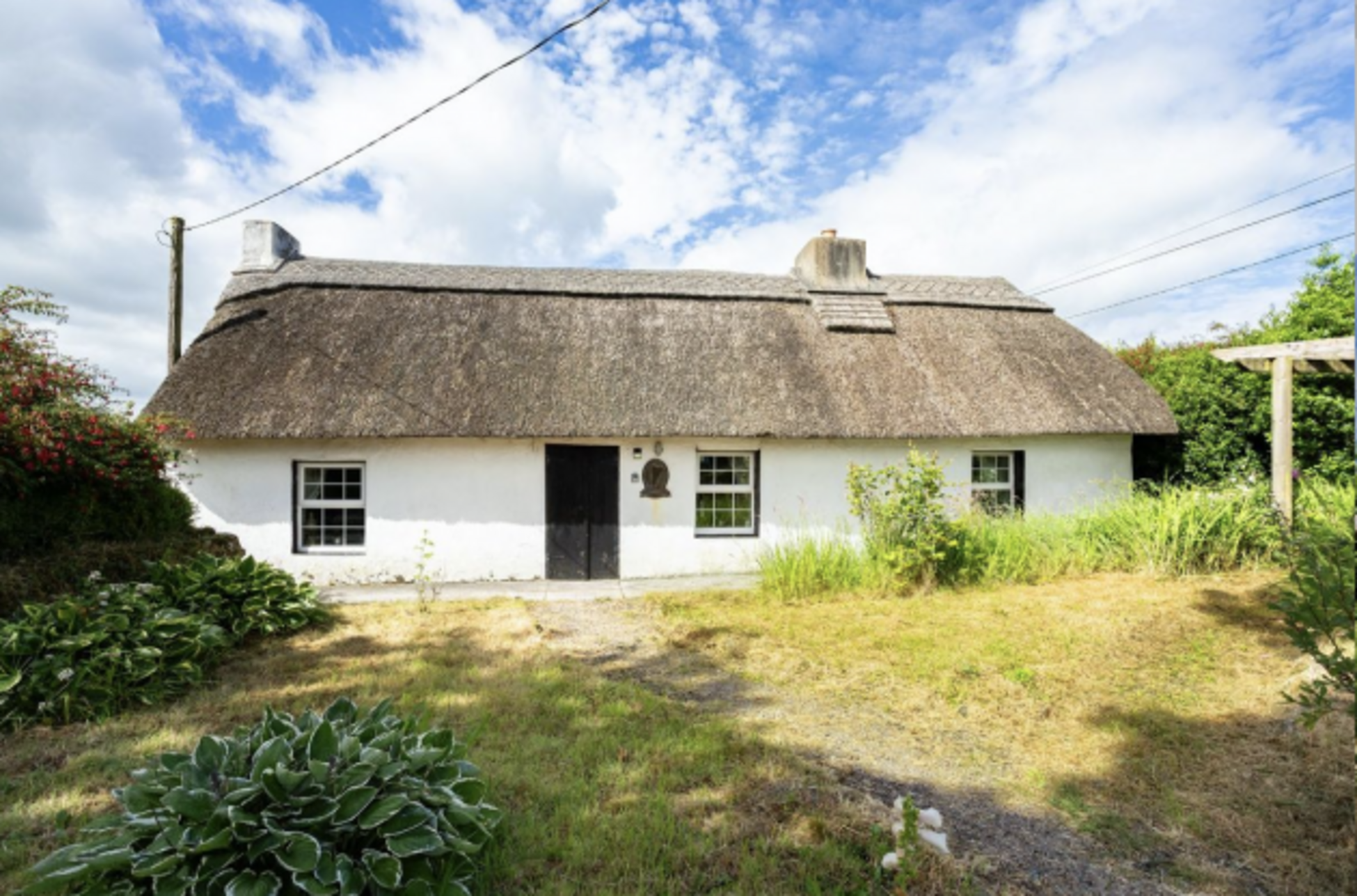 Fulacht fia in Two-Pot-HouseFulacht fia · 1324 yd
 Enclosure in Two-Pot-HouseEnclosure · 1.2 mi
 Caherduggan Castle (Site of)Castle, unclassified · 1.7 mi
 Castle (Remains of)Castle, unclassified · 1.9 mi
 In loving memory of Elvis O'DonoghueMemorial · 3.2 mi
 Mallow River TrailVisitor information · 3.3 mi
 Blackwater WayWalking route · 3.8 mi
 Dromaneen CastleHeritage attraction · 4.7 mi
 Lady's WellSpring · 5.3 mi
 European YewEuropean Yew · 7.7 mi