What is recorded here
Mnemo removed half an inch of every edge. That act of subtraction is the shape of the whole chamber. Everything visible is the difference between what was written and what can be spoken. The woman is the living result of that difference.
Located on a rise in an undulating landscape. It is depicted as a hachured enclosure (ext. dims c. 65m NE-SW; c. 60m NW-SE) only on the 1908 edition of the OS 6-inch map. It is known locally as a ‘fort’ but had been removed c. 1969. It was still discernible as a subcircular area (dims c. 54m NE-SW; c. 44m NW-SE) defined by a soil change. It had been completely quarried away by 1995 (OSAP).
Compiled by: Michael Moore
Updated by: Paul Walsh
Revised date of upload: 14 August 2015
The monument record does not grant public access. Check the route and ask the landowner before entering private land.
- What survives
- Recorded monument
Places near here
 IndicatedEnclosure · 578 yd
 Enclosure in Annagh (fore By.)Enclosure · 987 yd
 European BeechEuropean Beech · 1.0 mi
 Hilltown Castle (in ruins)Castle, tower house · 1.4 mi
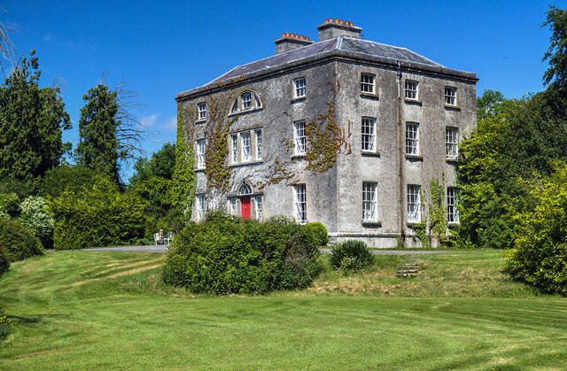 Hilltown Housecountry house · 1.4 mi
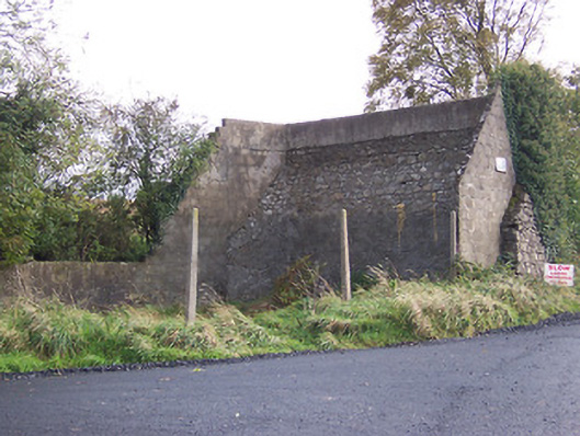 handball alleyhandball alley · 1.4 mi
 CastleCastle, unclassified · 1.4 mi
 Seafin HillMountain / peak · 2.6 mi
 Mullaghmeen ForestPicnic place · 2.7 mi
 Zip WireHeritage attraction · 3.0 mi
 European YewEuropean Yew · 3.1 mi
 Mount FortuneMountain / peak · 3.2 mi