What is recorded here
Situated on the side of a natural scarp, overlooked by higher ground to SE. Depicted on the revised 1913 ed. OS 25-inch map as an oval-shaped earthwork. Monument described in 1970 as a roughly circular-shaped area (dims. 22m NW-SE; 19.5m NE-SW) enclosed by a bank with a scarp in places and an outer fosse. The earth and stone bank is present from SE-S-W-N-NE and is reduced to a scarp from NE-E-SE, whereby it drops into the interior from the external ground level. The slight shallow fosse is only visible from S-W-WNW. A gap (Wth at top 4.2m; basal Wth 1.7m) in the bank at SSE presumably represents the entrance and there is a large disturbance gap at NW. The interior has a gentle NNE-facing slope and traces of cultivation ridges running WNW-ESE. Monument is visible today as an oval-shaped, partially tree-lined earthwork on Digital Globe aerial photography.
Compiled by Alison McQueen, Vera Rahilly and Caimin O’Brien.
Date of upload: 09 July 2019
The monument record does not grant public access. Check the route and ask the landowner before entering private land.
- What survives
- Recorded monument
Places near here
 CastleCastle, tower house · 293 yd
 Bawn in Kerinstown and Balrowan (rowley)Bawn · 311 yd
 TobermíonadHoly well · 862 yd
 OutlinedFairy fort / earthen ringfort · 1076 yd
 25th Locklock · 1723 yd
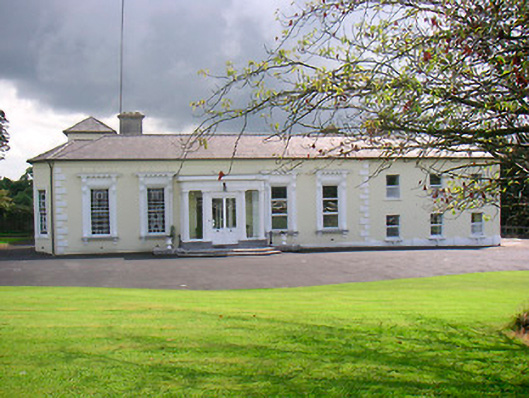 Saint Camillushouse · 1734 yd
 GinkgoGinkgo · 4.3 mi
 ScregganWood · 6.3 mi
 Croppies' GraveMemorial · 8.6 mi
 Enclosure in Porterstown (napper)Enclosure · 1229 yd
 Site of ChurchChurch · 1361 yd
 Footy's Bridgebridge · 1736 yd