What is recorded here
No visible ditch, no standing stones, no gate gap. Only a thick earthen ring, unbroken and level, as if the ground itself had closed around a forgotten chamber. The soil is dense and dark, packed by centuries of rain and foot traffic. What ever stood inside has vanished completely, leaving behind a shape so clean it seems deliberate. The land did not preserve a building; it erased one and kept the outline.
The following description is derived from both the published 'Archaeological Inventory of County Louth' (Dublin: Stationery Office, 1986) and the 'Archaeological Survey of County Louth' (Dublin: Stationery Office, 1991). In certain instances the entries have been revised and updated in the light of recent research.
Date of upload/revision: 17 July 2007
Large, sub-circular enclosure enclosed by earthen bank best preserved at N and S.
The monument record does not grant public access. Check the route and ask the landowner before entering private land.
- What survives
- Recorded monument
Places near here
 Saint Brigid's Catholic Churchchurch/chapel · 365 yd
 Church in KilcurryChurch · 420 yd
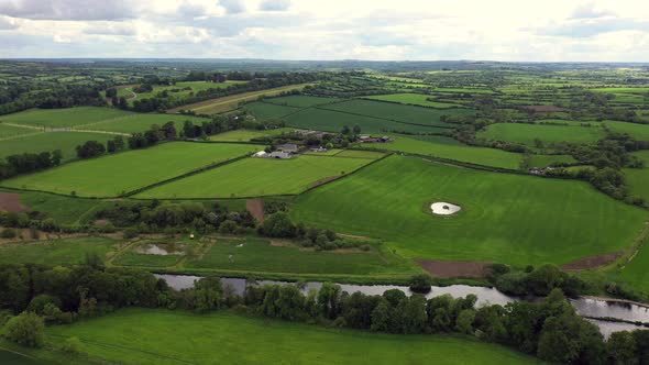 Field system in BalrigganField system · 646 yd
 Fort HillEnclosure · 698 yd
 Balregan CastleCastle, tower house · 1264 yd
 TumulusCastle, motte and bailey · 1390 yd
 Battle of FaughartMajor battlefield · 1.6 mi
 MonascreebeMountain / peak · 1.6 mi
 SlievenaboleaMountain / peak · 2.3 mi
 Maid of ErinMemorial · 2.6 mi
 Bombing 1975Memorial · 2.6 mi
 Moyry CastleCastle · 2.6 mi