What is recorded here
Fairy fort / earthen ringfort in Balreagh is a fairy fort or earthen ringfort in Balreagh, County Westmeath, Ireland. The site sits on a slight natural rise in gently undulating grassland, overlooked by higher ground on all sides except at northwest and southwest. A circular shaped area with an approximate diameter of 30 metres northwest-southeast and 34 metres northeast-southwest is enclosed by a poorly preserved low earthen bank. This bank is only visible from southwest through northwest and from northeast through southeast, while it is reduced to a scarp elsewhere.
Situated on a slight natural rise in gently undulating grassland, overlooked by higher ground on all sides except at NW and SW. Ringfort (WM013-036---) 160m to NNW. This site has been partially levelled at SSE by a roadway running N-S leading to a house located 40m to SSE. All that remains is a circular shaped area (approx. diam. 30m NW-SE; 34m NE-SW) enclosed by a poorly preserved low earthen bank only visible from SW-NW and from NE-SE, elsewhere reduced to a scarp. Traces of cultivation ridges are visible running N-S across the interior.
Compiled by: Frank Coyne and Caimin O'Brien
Date of upload: 9 April 2018
The monument record does not grant public access. Check the route and ask the landowner before entering private land.
- What survives
- Recorded monument
Places near here
 CastleCastle, motte · 546 yd
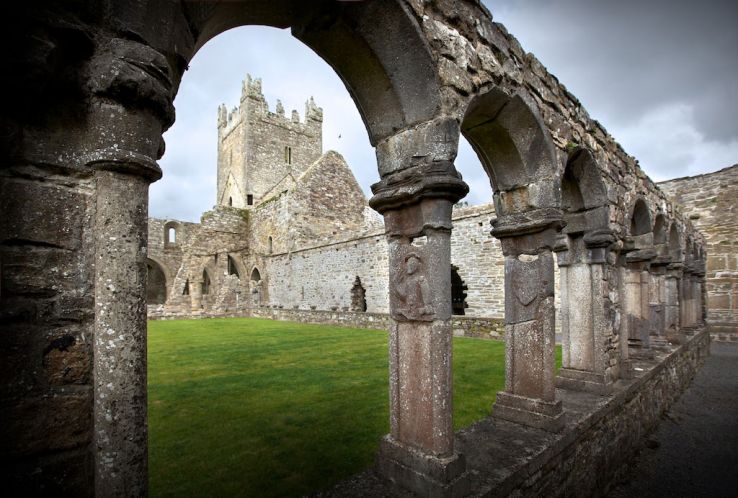 Ecclesiastical enclosure in BalreaghEcclesiastical enclosure · 606 yd
 Church in ruinsChurch · 618 yd
 EnclosureEnclosure, large enclosure · 699 yd
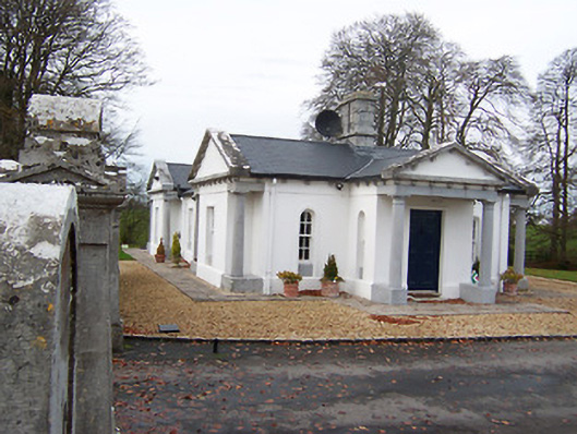 Gigginstown Housegate lodge · 1.6 mi
 Site of Fennor CastleCastle, tower house · 1.7 mi
 GinkgoGinkgo · 3.0 mi
 Long PlantingForest · 4.2 mi
 Saint Brigid's WellSpring · 5.5 mi
 United Nations War MemorialMemorial · 5.9 mi
 Mullingar Cathedral MuseumMuseum · 6.2 mi
 The Chimera GalleryGallery · 6.2 mi