What is recorded here
Situated on a small rise, in gently undulating rough pasture, which is poorly drained in places. Depicted on the revised 1913 ed. OS 25-inch map as an oval-shaped earthwork. Monument described in 1970 as a broad oval-shaped area (diam. 18.5m) enclosed by an earthen bank (H 2.2-2.6m) which is almost reduced to a scarp. There is no definite trace of an external fosse. The original entrance is not recognisable, however the bank is much defaced at E, where an entrance may have been located. The interior rises from the perimeter to a point in the N quadrant where there are traces of a house site (WM020-019001-). Monument is described in 1981 as having a berm (Wth 3m) at the base of the bank and a gap in the bank at NE which may represent an entrance. Monument is visible today as a tree-covered earthwork on Digital Globe aerial photography.
See attached profile of monument surveyed and drawn by the ASI
Compiled by: Alison McQueen, Vera Rahilly and Caimin O’Brien
Date of upload: 06 June 2019
The monument record does not grant public access. Check the route and ask the landowner before entering private land.
- What survives
- Recorded monument
Places near here
 Hut site in Balrath EastHut site · 11 yd
 Reynella Cottageoutbuilding · 598 yd
 IndicatedFairy fort / earthen ringfort · 645 yd
 CastleCastle, motte · 1080 yd
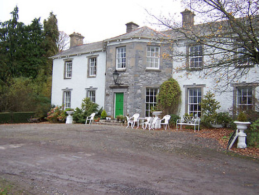 Reynella Housecountry house · 1632 yd
 GinkgoGinkgo · 1633 yd
 DardistownCastle, unclassified · 1.1 mi
 ScregganWood · 5.3 mi
 Kells HillMountain / peak · 9.1 mi
 Seafin HillMountain / peak · 9.7 mi
 Croppies' GraveMemorial · 11 mi
 Partially hachuredFairy fort / earthen ringfort · 1351 yd