What is recorded here
Situated just below the summit of a hill on SE facing slope with commanding views of the surrounding countryside. A circular area (approx. diam. 45m NW-SE) defined by a low earthen bank with traces of an internal and external fosse. The interior slopes from NW-SE, with a slight depression near the centre which may represent a house site (WM004-031001-). The site is overgrown with blackthorn. The presence of an internal fosse may suggest that his monument was a ritual or burial site rather than a ringfort. However the presence of an inner fosse is uncertain due to the overgrown nature of the monument.
Compiled by: Frank Coyne & Caimin O'Brien
Date of upload: 12 December 2016
The monument record does not grant public access. Check the route and ask the landowner before entering private land.
- What survives
- Recorded monument
Places near here
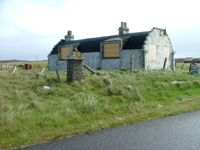 Hut site in BalnavineHut site · 1 yd
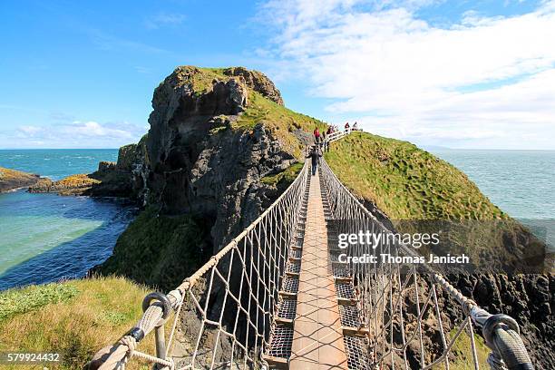 Partially outlinedFairy fort / earthen ringfort · 670 yd
 CastleCastle, tower house · 1230 yd
 Noggin HillMountain / peak · 1584 yd
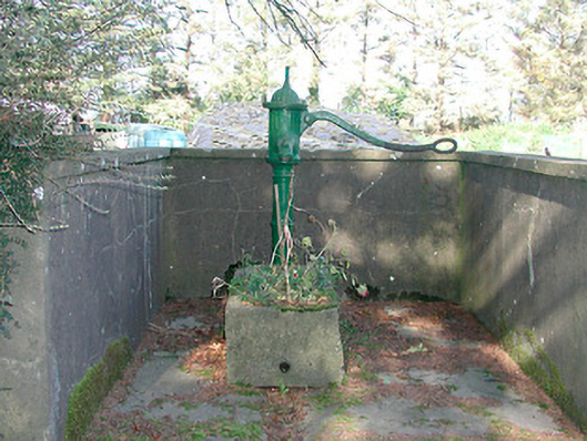 water pumpwater pump · 1626 yd
 Ben of ForeMountain / peak · 1.1 mi
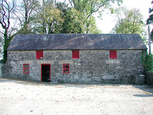 outbuildingoutbuilding · 1.3 mi
 MoatCastle, motte and bailey · 1.3 mi
 South East GateHeritage attraction · 1.6 mi
 Fore AbbeyHeritage attraction · 1.7 mi
 European ashEuropean ash · 1.7 mi
 Castle IslandIslet · 2.6 mi