What is recorded here
Fairy forts are human ringforts misnamed through folklore, and Balnagon Upper holds one of them on an east-facing slope. A forty-metre earthen circle with a stone-edged bank once stood there, large enough to hold a household, a herdsman or a small resisting community. Farming and forgetting have since flattened most of it into an ordinary field edge, leaving only a faint curve for the eye to catch. The fairies never lived there; people did, and the land has been patiently taking the shape back.
Situated on the E-facing slope of a hill. A circular embanked enclosure (ext. diam. c. 40m) is depicted on the 1836 edition of the OS 6-inch map where it is described as a ‘Fort’, and it is represented as a circular hachured feature on the 1912 edition. This was described in 1965 as a circular area (diam. c. 40m) defined by an earthen bank (ext. H c. 1.5m) with an outer stone facing and hedge, and a fosse (D c. 0.6m) on the W side (SMR file). By 1969 only a curve in a field bank (Chord c. 40m) NE-SE indicates the monument.
The above description is derived from the published 'Archaeological Inventory of County Meath' (Dublin: Stationery Office, 1987). In certain instances the entries have been revised and updated in the light of recent research.
Compiled by: Michael Moore
Date of revision: 25 February 2019
The monument record does not grant public access. Check the route and ask the landowner before entering private land.
- What survives
- Recorded monument
Places near here
 New Grovestables · 568 yd
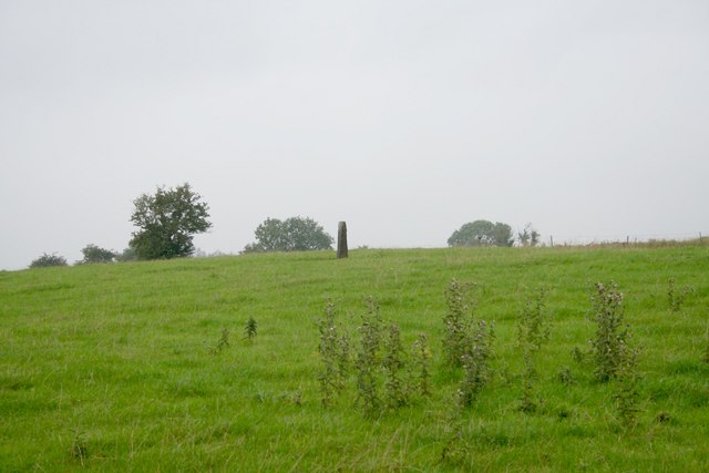 Standing stone in Balnagon UpperStanding stone · 585 yd
 Sylvan Park WoodsForest · 1.0 mi
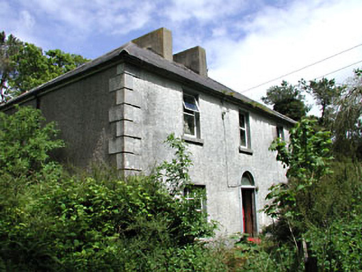 Carrick Viewfarm house · 1.1 mi
 Stone CrossCross, Wayside cross · 1.3 mi
 HawthornHawthorn · 1.7 mi
 Balgree MoteCastle, motte · 2.1 mi
 Round TowerCastle, tower house · 2.2 mi
 CloncatMountain / peak · 3.2 mi
 The Kieran Flanagan WayMemorial · 3.4 mi
 The Pauper's CemeteryMemorial · 3.5 mi
 MaperathMountain / peak · 3.8 mi