What is recorded here
Fairy forts are a misnomer; human hands built these ringforts, and Ballywilliam is no exception. The earth and stone bank still stands two metres thick on its natural hillock, enclosing a circular space nearly thirty metres across with a three-metre gap at the northeast. That opening faces the land rather than hiding from it, suggesting the fort watched the countryside instead of crouching inside it. People may have lived, argued, buried or abandoned the place long before the survey measured its shadows.
Situated on a natural hillock in undulating countryside. Roughly circular area (diam 27m N-S; 29m E-W) enclosed by an earth and stone bank (Wth 2m; ext. H 0.7m) with entrance gap (Wth 3m) at NE. No other features visible.
The above description is derived from the published 'Archaeological Inventory of County Offaly' (Dublin: Stationery Office, 1997). In certain instances the entries have been revised and updated in the light of recent research.
Date of upload: 23 May 2011
The monument record does not grant public access. Check the route and ask the landowner before entering private land.
- What survives
- Recorded monument
Places near here
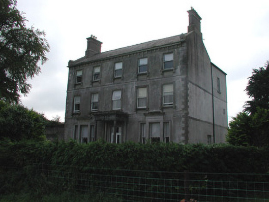 Rutland Housecountry house · 582 yd
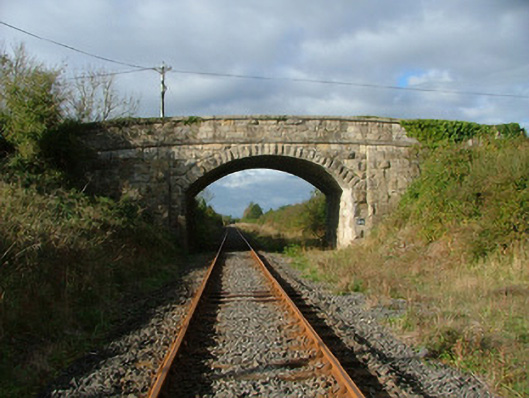 Clonlisk Bridgebridge · 847 yd
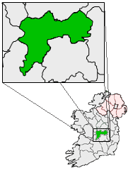 IndicatedFairy fort / earthen ringfort · 1340 yd
 Site of CastleCastle, unclassified · 1420 yd
 Man-made underground passage in BoultryMan-made underground passage · 1543 yd
 Coolock WoodForest · 1.8 mi
 Warren WoodWood · 1.8 mi
 Bawn in ShinroneBawn · 2.2 mi
 Eagle HillMountain / peak · 3.3 mi
 Golden Grove HillMountain / peak · 4.1 mi
 Roscrea Petty Sessions HouseHeritage attraction · 4.6 mi
 Thomas MacDonagh Heritage CentreMuseum · 5.6 mi