What is recorded here
No visible trace remains in Ballyvoneen, though O’ Dwyer measured a 130-foot platform, double banks and a deep eastern trench in 1960. That much earth implies people shaped the field, perhaps around a central house, before the trench cut through the work. The fairy-fort name suggests the usual human story has thinned into mystery, leaving a disappearing act written in soil.
The precise location of this monument in the townland of Ballyvoneen has not been identified. Listed as Site no. 40 by O’ Dwyer (1960, 112) and described as, 'A platform 130 feet [39m] in diameter. It has a shallow ditch 33 feet [10m] wide. Double banks 15 [4.5m] and 12 feet [3.65m] wide encircle the ditch. The platform slopes gently upward from the edge to an elevated centre which may be the site of a house or other structure. Running E-W a deep trench cuts off a third of this earthwork. The portion to the north of the trench seems undisturbed'.
Compiled by: Alison McQueen and Vera Rahilly
Date of upload: 21 July 2020
The monument record does not grant public access. Check the route and ask the landowner before entering private land.
- What survives
- Recorded monument
Places near here
 EnclosureEnclosure, large enclosure · 491 yd
 BarrowBarrow, ring-barrow · 655 yd
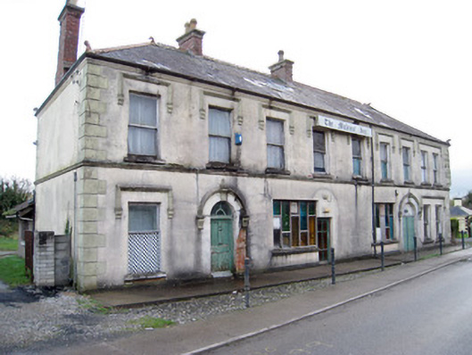 hotelhotel · 1230 yd
 Station Houserailway station · 1257 yd
 (Site of) Nicker CastleCastle, unclassified · 1.0 mi
 KnockseefinMountain / peak · 1.2 mi
 Kilduff Castle (in ruins)Castle, tower house · 1.2 mi
 ToberagaddySpring · 1.3 mi
 St. Patrick's WellSpring · 4.0 mi
 Kilteely HillMountain / peak · 4.5 mi
 Graveyard in AbingtonGraveyard · 4.9 mi
 Flat cemetery in Knockainy WestFlat cemetery · 8.4 mi