What is recorded here
Taylor's 1783 map of County Kildare still carries the circular rath at Ballyvoneen, though his scale is too coarse to place it without guessing. The fort may have been a farmstead, a refuge or a boundary marker, yet the fairy name suggests people saw more life inside its ring than ordinary tool-use. Earth, rain and time have done their work, but the drawing preserves the shape that once held someone against the dark.
Recorded as a circular rath on Taylor's 1783 Map of Co. Kildare at a scale of approximately one and three-eights of an inch to the mile (as indicated by his scale-bar). The scale is not sufficient to allow its precise location to be determined.
Compiled by: Gearóid Conroy
Date of upload: 10 June 2011
The monument record does not grant public access. Check the route and ask the landowner before entering private land.
- What survives
- Recorded monument
Places near here
 Enclosure in BallyvoneenEnclosure · 698 yd
 EnclosureEnclosure, large enclosure · 820 yd
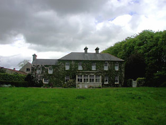 Ballyvoneen Househouse · 1018 yd
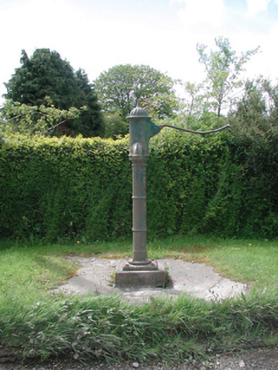 water pumpwater pump · 1359 yd
 Cloncurry GraveyardHeritage attraction · 1648 yd
 European ashEuropean ash · 1703 yd
 Cloncurry MoatCastle, motte · 1705 yd
 Site of Dunfierth CastleCastle, unclassified · 1.8 mi
 Old Bog Road made famous by Teresa Bryton 1868-1943Memorial · 1.8 mi
 The Grill ShackHeritage attraction · 3.4 mi
 9/11 MemorialMemorial · 4.5 mi
 Wych ElmWych Elm · 4.9 mi