What is recorded here
Fairy fort in Ballyvoddy, County Cork: a broken earthen ring, thirty metres across, set in pasture on a south-east slope. The bank stands sixty centimetres high, partly choked with bushes, while a shallow ditch marks its outer edge. Claidh Dubh lies three hundred metres to the southwest, but the fort itself has no visible building left inside. It may have been a farmstead, a refuge or a boundary marker before people stopped remembering why the earth was shaped into a circle.
In pasture, on SSE-facing slope. Circular area (32m E-W; 31m N-S) enclosed by earthen bank (int. H 0.6m; ext. H 0.65m); shallow external fosse (D 0.25m). Break in bank to SSE. Bank partially overgrown with bushes. Interior grass-covered and slopes gently down to S. Claidh Dubh (CO018-001---) lies c. 300m to SW.
The above description is derived from the published 'Archaeological Inventory of County Cork. Volume 4: North Cork' (Dublin: Stationery Office, 2000). In certain instances the entries have been revised and updated in the light of recent research.
Date of upload/revision: 14 January 2009
The monument record does not grant public access. Check the route and ask the landowner before entering private land.
- What survives
- Recorded monument
Places near here
 Man-made underground passageMan-made underground passage · 442 yd
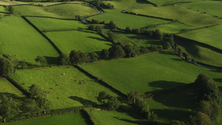 Field system in Carrigleagh (fermoy By., Wallstown Par.)Field system · 962 yd
 IndicatedKiln, lime · 1096 yd
 gates/railings/wallsgates/railings/walls · 1579 yd
 Ruane Castle (Site of)Castle, unclassified · 1.7 mi
 Shanballymore Castle (Site of)Castle, unclassified · 1.8 mi
 Anne's Grove GardensHeritage attraction · 1.8 mi
 Flat cemetery in Ballyenahan NorthFlat cemetery · 1.8 mi
 Horse Field WoodForest · 2.5 mi
 North Meadow WoodForest · 2.6 mi
 Graveyard in BoherashGraveyard · 3.8 mi
 St Dominick's WellSpring · 3.9 mi