What is recorded here
Fairy forts are human ringforts misnamed, and Ballyveelick is no exception: a 30m earthen circle on a SW-facing slope in County Cork, its bank overgrown and partly absorbed into field boundaries, with a wide eastern gap and a shallow outer ditch. People may have lived there before pasture and plough changed it, but the measured shape still contradicts the fairy tale. The real strangeness is that an ordinary home can become a mythical one when memory thins.
In pasture, on SW-facing slope. Circular area (30m N-S; 30m E-W) enclosed by earthen bank (int. H 1.3m; ext. H 1.5m); shallow external fosse. Bank heavily overgrown; incorporated into field boundary system W->N. Entrance (Wth 6m) to E; widened recently. Interior slopes down towards entrance.
The above description is derived from the published 'Archaeological Inventory of County Cork. Volume 4: North Cork' (Dublin: Stationery Office, 2000). In certain instances the entries have been revised and updated in the light of recent research.
Date of upload/revision: 14 January 2009
The monument record does not grant public access. Check the route and ask the landowner before entering private land.
- What survives
- Recorded monument
Places near here
 Fulacht fia in SkenakillaFulacht fia · 949 yd
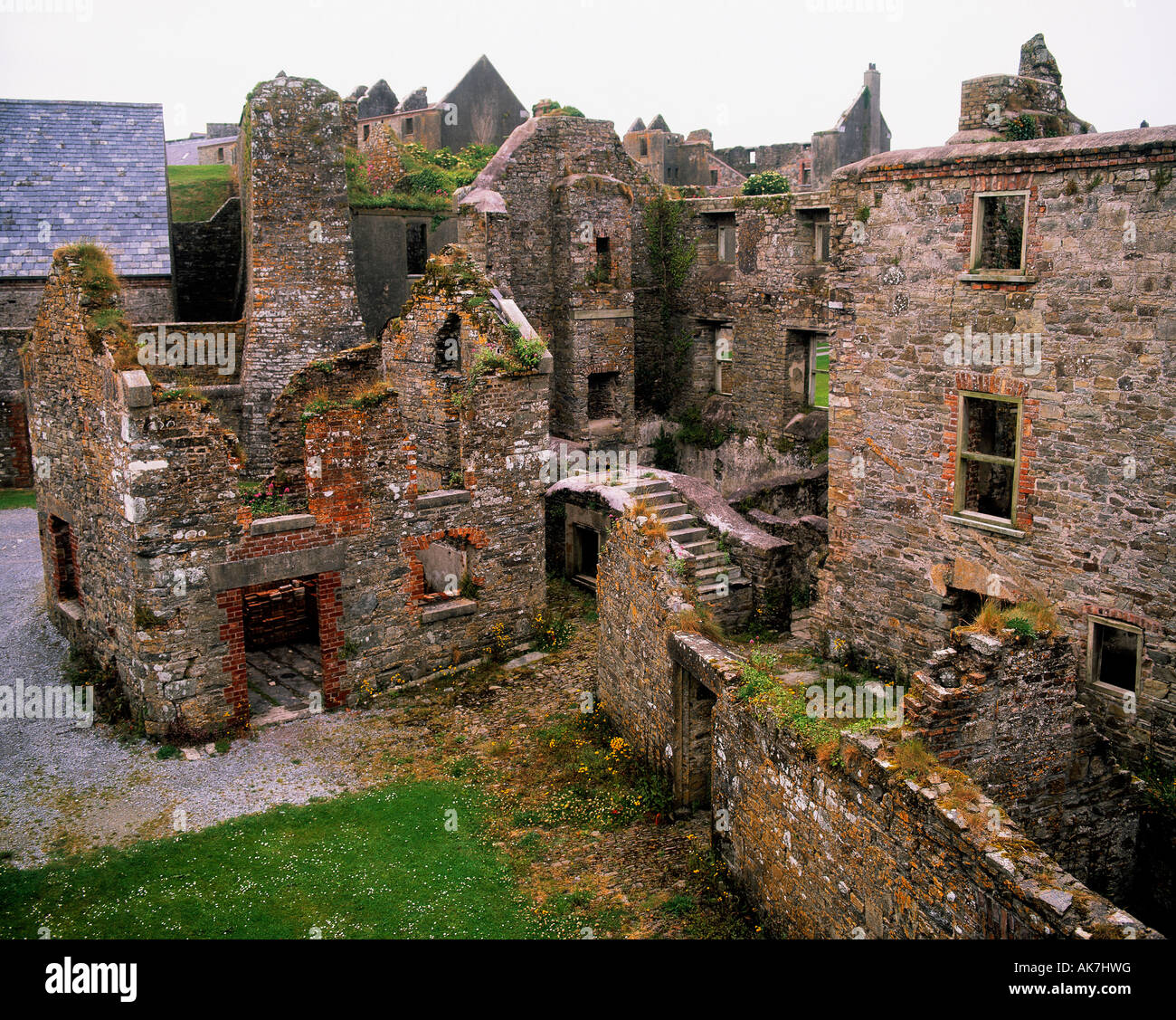 Enclosure in KillissaneEnclosure · 1312 yd
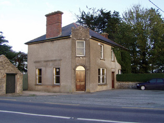 Griffin'shouse · 1595 yd
 Johnsgrove Househouse · 1.1 mi
 Anne's Grove GardensHeritage attraction · 2.3 mi
 Shanballymore Castle (Site of)Castle, unclassified · 2.7 mi
 Pedunculate OakPedunculate Oak · 3.2 mi
 Scots PineScots Pine · 3.3 mi
 Ruane Castle (Site of)Castle, unclassified · 3.4 mi
 Smith's WellSpring · 4.4 mi
 Blackwater (Avondhu) WayWalking route · 4.9 mi
 Knocknaskagh North TopMountain / peak · 5.5 mi