What is recorded here
Fairy fort in Ballyveelick is a broken earthen ring on a NW-facing slope, marked by a lime kiln and a gap where the ground was dug into. It is the kind of place people named for what they refused to explain, while the lime kiln proves someone worked there with fire and hunger. The tree-planted bank and shallow ditch suggest a boundary made visible, perhaps for pasture, residence or story.
In pasture, below crest of ridge, on NW-facing slope. Circular area (49m N-S; 48m E-W) enclosed by earthen bank (max. int. H 1.2m; ext. H 1.6m); external fosse (D 0.6m) SE->WSW, shallow fosse elsewhere. Bank planted with mature deciduous trees; replaced by small section of dry stone walling to W; break to NW, where ground within gap quarried or dug into. Remains of lime kiln in bank to SSW, surviving as subrectangular earthwork protruding into interior. Interior grass-covered; shown as planted with trees on 1842 OS 6-inch map.
The above description is derived from the published 'Archaeological Inventory of County Cork. Volume 4: North Cork' (Dublin: Stationery Office, 2000). In certain instances the entries have been revised and updated in the light of recent research.
Date of upload/revision: 14 January 2009
The monument record does not grant public access. Check the route and ask the landowner before entering private land.
- What survives
- Recorded monument
Places near here
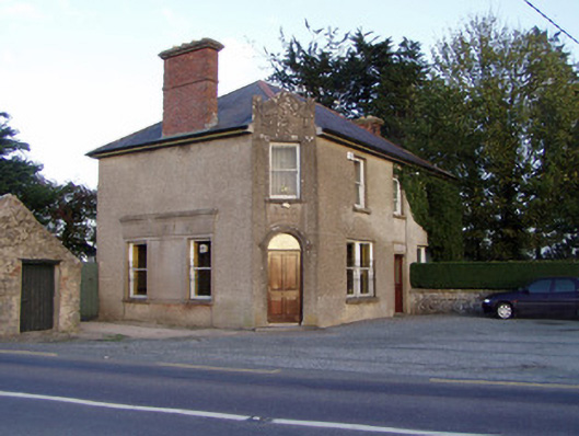 Griffin'shouse · 1003 yd
 Fulacht fia in SkenakillaFulacht fia · 1069 yd
 Johnsgrove Househouse · 1417 yd
 Enclosure in BallyhimockEnclosure · 1596 yd
 Anne's Grove GardensHeritage attraction · 2.3 mi
 Shanballymore Castle (Site of)Castle, unclassified · 2.5 mi
 Pedunculate OakPedunculate Oak · 2.9 mi
 Scots PineScots Pine · 3.0 mi
 Ruane Castle (Site of)Castle, unclassified · 3.2 mi
 Smith's WellSpring · 4.1 mi
 Blackwater (Avondhu) WayWalking route · 5.1 mi
 Lover's LeapCliff · 5.6 mi