What is recorded here
Located at the S end of a slight N-S ridge. The cropmark of a D-shaped or subcircular enclosure (dims c. 34m NW-SE; c. 30m NE-SW) with an entrance gap on the straight SE side is visible on aerial photographs (CUCAP, AOX 43 4). It is not visible at ground level in a root crop.
The abpve description is derived from the published 'Archaeological Inventory of County Wexford' (Dublin: Stationery Office, 1996). In certain instances the entries have been revised and updated in the light of recent research.
Compiled by: Michael Moore
Date of upload/revision: 25 July 2013
The monument record does not grant public access. Check the route and ask the landowner before entering private land.
- What survives
- Recorded monument
Places near here
 Embanked enclosureFairy fort / earthen ringfort · 765 yd
 Not indicaedEnclosure · 978 yd
 New Bridgebridge · 1092 yd
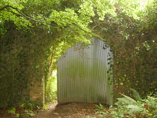 Tintern Abbeywalled garden · 1093 yd
 1798Memorial · 1246 yd
 Site of CastleCastle, unclassified · 1711 yd
 Saltmills Explosion MemorialMemorial · 1.6 mi
 Grange BeachBeach / strand · 2.7 mi
 CastleCastle, motte · 2.8 mi
 AshgroveVisitor information · 3.1 mi
 Carricjmore CliffCliff · 3.4 mi
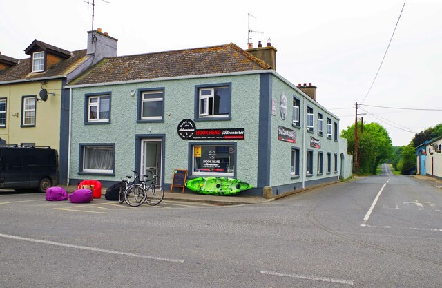 Hook Tourism (Fethard Office)Visitor information · 3.4 mi