What is recorded here
Fairy fort in Ballysteen, County Limerick: a 31-by-33-metre ring of two earthen banks and wet ditches at the marsh edge. The outer bank rises 1.4 metres with a sheer face, while the inner chamber slopes downward into rough pasture. Cattle may have worn the eastern gap, but the double defence and marsh-trapped form suggest a place made to be entered reluctantly and remembered oddly.
In rough pasture, on low-lying terrain at edge of marsh to WSW. Roughly circular area (31m N-S; 33m E-W) enclosed by two concentric earthen banks with intervening and external fosses. Inner bank (int. H 0.35m; ext. H 0.6m) clear of overgrowth as is rest of enclosing element. Outer bank (int. H 0.8m; ext. 1.4m) has sheer external face; inner face slopes down gently into intervening fosse (Wth 2.7m). External fosse (D. 0.35m; Wth 3.3m) widens at W where it joins marsh area. Dip in outer bank (Wth 4m) at ENE probably denuded by cattle accessing interior; not matched by causeway or break in inner bank. Interior slopes down towards centre and is under rough marshy pasture.
Compiled by: Denis Power
Date of upload: 26 August 2011
The monument record does not grant public access. Check the route and ask the landowner before entering private land.
- What survives
- Recorded monument
Places near here
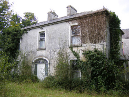 Ballysteen Housecountry house · 687 yd
 Fulacht fia in CarronsFulacht fia · 718 yd
 Grave YardGraveyard · 929 yd
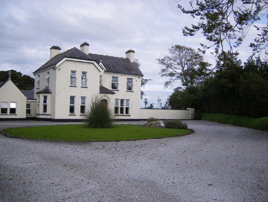 The Presbyteryhouse, presbytery/parochial/curate's house · 1214 yd
 Castle (in ruins)Castle, tower house · 1.1 mi
 Site of CastleCastle, unclassified · 1.2 mi
 St. Luke's WellSpring · 2.2 mi
 St. Kieran's WellSpring · 3.0 mi
 Foynes Flying Boat & Maritime MuseumMuseum · 5.3 mi
 Askeaton CastleHeritage attraction · 5.4 mi
 Foynes Island ViewpointViewpoint · 5.5 mi
 European ashEuropean ash · 5.7 mi