What is recorded here
Pollnashinnagh holds two earthen banks and a shadowed fosse on a gentle north-facing slope, marking a place where human hands shaped the land before memory faded. The southern gap invites entry while an underground passage emerges in the northwest, suggesting the fort contained more than an ordinary farmstead. Cows still walk the grass above buried stone, unaware that they graze a chamber built to keep out rain, theft or forgetting.
On a gentle N-facing slope in pastureland. This well-preserved rath is defined by two banks and an intervening fosse. There is a causewayed entrance gap at S. The townland boundary wall overlies the outer bank from SW to NNE. No visible surface trace of the internal stone-facing noted by McCaffrey (1952, 245, no. 150) on the inner bank survives. This site of a Man-made underground passage (GA104-065001-) is evident in the NW quadrant of the interior and in the S sector a subdivision that is subrectangular (L 20.2m; Wth 16.1m) in plan.
Compiled by: Galway Archaeological Survey, UCG
Date of upload: 6 March 2018
The monument record does not grant public access. Check the route and ask the landowner before entering private land.
- What survives
- Recorded monument
Places near here
 CaveMan-made underground passage · 394 yd
 Man-made underground passageMan-made underground passage · 587 yd
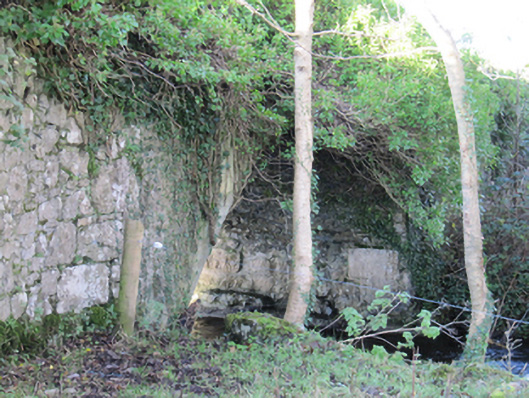 Roxboroughbridge · 1377 yd
 Cregg Castle (in ruins)Castle, tower house · 1432 yd
 Flour and Corn MillMill, corn · 1461 yd
 Bawn in Deerpark (kilchreest Ed)Bawn · 1.1 mi
 Scalpeen RockNamed rock · 5.0 mi
 Blake's IslandIslet · 5.0 mi
 KnockapollboyMountain / peak · 5.3 mi
 HawthornHawthorn · 5.7 mi
 European ashEuropean ash · 5.8 mi
 Drumacoo Monastic SiteHeritage attraction · 8.4 mi