What is recorded here
Situated on a level landscape. The faint cropmark of a circular enclosure (diam. c. 45m) defined by a slight fosse feature is visible on aerial photograph (CUCAP: AVK 75) from July 1969. It is also visible on digital aerial photographs (WX047-044_1 to _4) from 2006, but the perimeter SW-N is not present. Rath (WX052-005----) is c. 60m to the SSE.
Compiled by: Michael Moore
Date of upload; 18 February, 2014
The monument record does not grant public access. Check the route and ask the landowner before entering private land.
- What survives
- Recorded monument
Places near here
 CastleCastle, unclassified · 484 yd
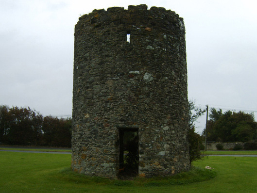 mill (wind)mill (wind) · 538 yd
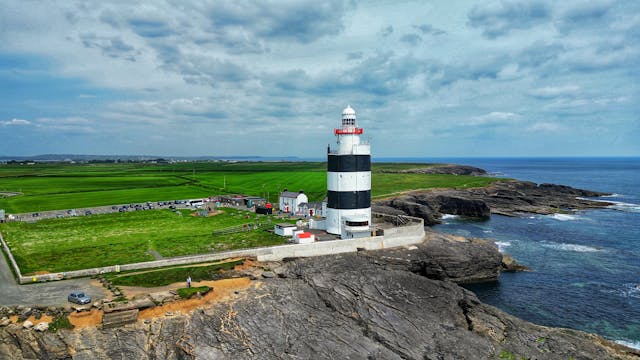 Embanked enclosureFairy fort / earthen ringfort · 712 yd
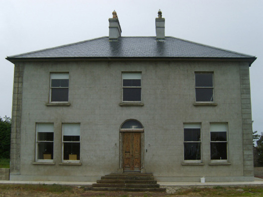 farm housefarm house · 833 yd
 Enclosure in Newtown (bargy By., Kilmore Ed)Enclosure · 1450 yd
 Castle (in ruins)Castle, tower house · 1.1 mi
 Ballyhealy BeachBeach / strand · 1.7 mi
 1798 Memorial PlaqueMemorial · 1.9 mi
 The Bull RockForest · 2.2 mi
 The Heron's MeadowForest · 2.3 mi
 The White Hole BeachBeach / strand · 2.3 mi
 Ivan Sutton Art ExhibitionGallery · 3.3 mi