What is recorded here
Situated on a broad, low hill. The cropmark of a circular enclosure (diam. c. 35m) defined by a single fosse feature and bisected by a NW-SE field bank is visible on aerial photographs (CUCAP: AVK 72; AVK 74) taken in July 1968. It is not visible at ground level in pasture. Archaeological testing (21E0784) by M. McCarthy immediately to the S at the closest point produced no related material (excavations.ie 2021:229).
The above description is derived from the published 'Archaeological Inventory of County Wexford' (Dublin: Stationery Office, 1996). In certain instances the entries have been revised and updated in the light of recent research.
Compiled by: Michael Moore
Date of upload: 14 October, 2013
Amended: 10 November 2022
The monument record does not grant public access. Check the route and ask the landowner before entering private land.
- What survives
- Recorded monument
Places near here
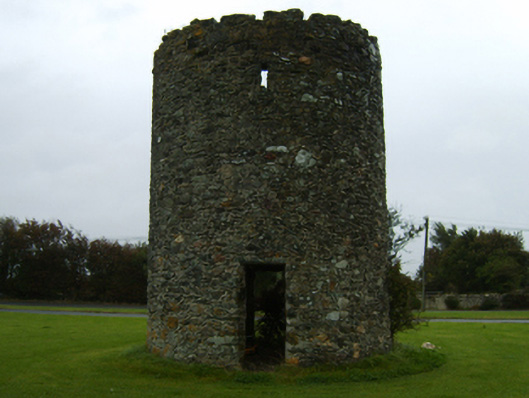 mill (wind)mill (wind) · 99 yd
 CastleCastle, unclassified · 1031 yd
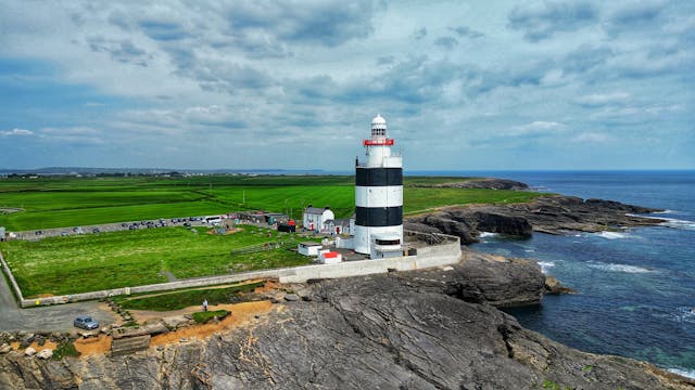 Embanked enclosureFairy fort / earthen ringfort · 1066 yd
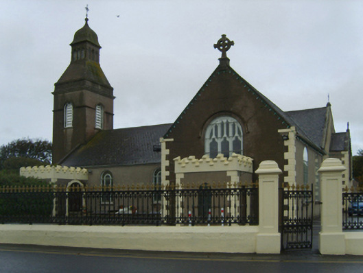 Catholic Church of the Blessed Virgin Mary, Saint Anne and Saint Josephchurch/chapel · 1168 yd
 Church (Site of)Church · 1.0 mi
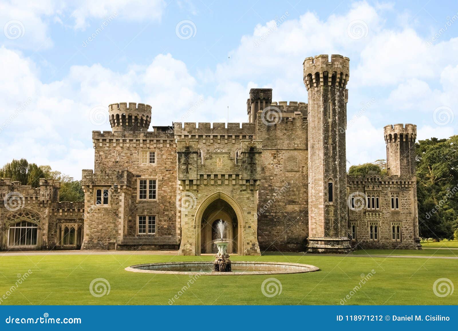 site of CastleCastle, unclassified · 1.3 mi
 Ballyhealy BeachBeach / strand · 2.0 mi
 1798 Memorial PlaqueMemorial · 2.1 mi
 The Bull RockForest · 2.4 mi
 The Heron's MeadowForest · 2.5 mi
 The White Hole BeachBeach / strand · 2.6 mi
 Ivan Sutton Art ExhibitionGallery · 3.2 mi