
What is recorded here
Situated in a fairly level landscape. This is a probable Catholic church of the Penal era that is marked only on the 1940 ed. of the OS 6-inch map in a field that is known locally as the church field. It was thought locally in 1940 that the church, known as ‘Chapel Larden’ or ‘Sarden’, was in use until c. 1800-1820 (OSFM), and it is described as a Mass House by Grattan Flood (1915, 69). A slightly raised rectangular platform (dims. 9.7m E-W; 7.2m N-S; H 0.3m) is visible, but there is no surface evidence of an enclosure or burial. Archaeological testing (07E0530) identified the clay-bonded wall (Wth 0.6-0.7m) of the church and uncovered a fosse or ditch (Wth 1.5-1.8m; D 0.7m) that pre-dated the platform (diam. c. 30-35m). Coarse medieval ceramics were recovered from the ditch and the enclosure may have had an entrance at NW where a terminal is recorded. No burials were recovered. (Stafford 2007, 4, 5; Stafford 2010)
The above description is derived from the published 'Archaeological Inventory of County Wexford' (Dublin: Stationery Office, 1996). In certain instances the entries have been revised and updated in the light of recent research.
Compiled by: Michael Moore
Date of upload/revision: 16 October, 2013
The monument record does not grant public access. Check the route and ask the landowner before entering private land.
- What survives
- Recorded monument
Places near here
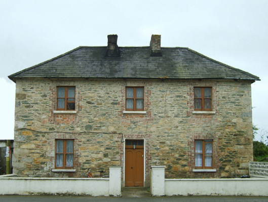 Bridgetown Constabulary BarrackRIC barracks · 449 yd
 St. Davids Well (Site of)Holy well · 490 yd
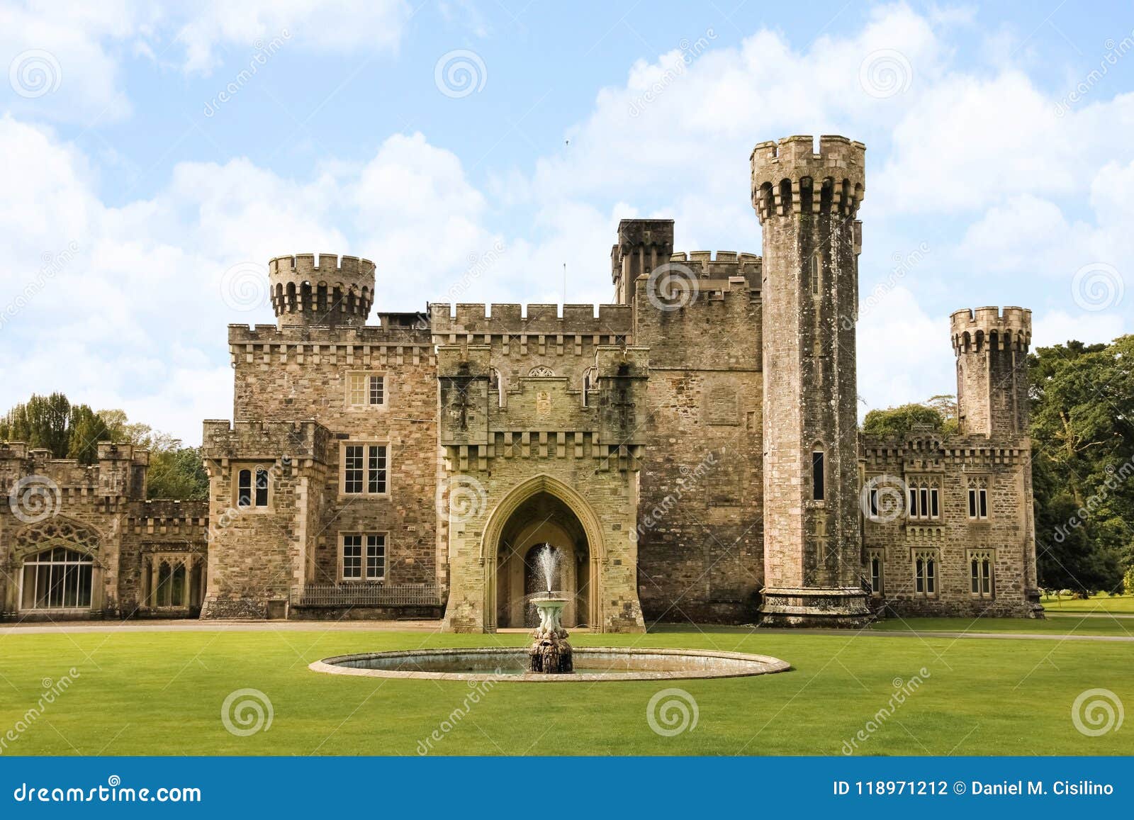 site of CastleCastle, unclassified · 510 yd
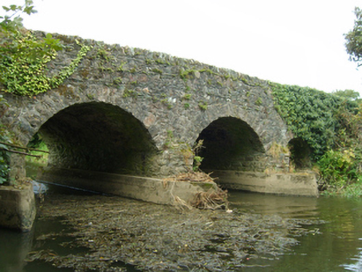 bridgebridge · 616 yd
 Field boundary in LakeField boundary · 1067 yd
 TumulusCastle, motte · 1315 yd
 1798 Memorial PlaqueMemorial · 2.5 mi
 The Bull RockForest · 2.6 mi
 The Heron's MeadowForest · 2.6 mi
 Ballyhealy BeachBeach / strand · 2.9 mi
 The White Hole BeachBeach / strand · 3.5 mi
 Ivan Sutton Art ExhibitionGallery · 3.9 mi
Other information
Photo: Credit not shown in the picture search · Rights wording not checked; contact us if this picture should be removed