What is recorded here
Fairy forts are human origins wearing a new story, often marked by a level grassy area, a shallow ditch or bank, and a flat interior that once held ordinary life. The name comes from later belief, not from a separate kind of builder.
In level pasture with moderate views in all directions. Enclosure (LI022-079----) located 30m to S. Depicted on the 1897 OS 25-inch map as a raised sub-rectangular shaped area (approx. dims. 52m N-S; 45m E-W) with possible entrance gap at SE. Surveyed by the ASI in 2000 when described as a roughly circular-shaped area (diam. 31m) defined by a scarp (Wth 7m; H 0.3m). A field boundary running N-S intersects the monument at NW and SW. The W side of the field boundary is densely overgrown. The undulating interior slopes slightly to E. The outline of the monument is clearly visible on Google Earth orthoimage taken 28/06/2018.
See attached sketch location map drawn and surveyed by ASI Google earth orthoimage 28/06/2018
Compiled by: Martin Fitzpatrick
Date of upload: 29 July 2020
The monument record does not grant public access. Check the route and ask the landowner before entering private land.
- What survives
- Recorded monument
Places near here
 Mound in Ballyregan (pubblebrien By.)Mound · 441 yd
 Enclosure in Ballycahane LowerEnclosure · 651 yd
 Maryville Housecountry house · 1521 yd
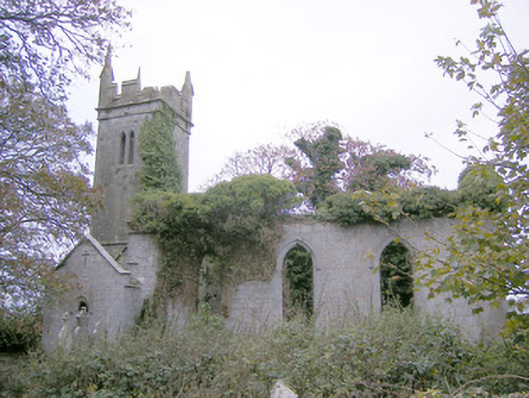 Ballycahane Churchchurch/chapel · 1574 yd
 Castle (in ruins)Castle, hall-house · 1739 yd
 Villiers WellSpring · 1.1 mi
 Ballinveala Castle (in ruins)Castle, tower house · 1.4 mi
 European ashEuropean ash · 1.9 mi
 Monasteranenagh AbbeyHeritage attraction · 3.3 mi
 Biodiversity in the Maigue CatchmentVisitor information · 3.9 mi
 Dysert AenghusaHeritage attraction · 4.7 mi
 Lebanon CedarLebanon Cedar · 4.9 mi