What is recorded here
Fairy fort in Ballyregan, County Limerick: a level circular field, twenty-seven by twenty-five metres, cut by a farm track and bounded by a low scarped bank. People may have lived there before fields and roads rearranged the land, or the fort may have waited for people to return. Either way it is not dead; it is patient, marking the edge of the River Deel valley where human and fairy claims still overlap.
In level pasture, at NW edge of River Deel valley. Circular area (27m N-S; 25m E-W) defined by a scarped edge (H 0.7m; Wth 3.2m). Field boundary runs along top of scarp NW->NE and along base of scarp NE->SE, so that site is located in NE corner of field. Farm trackway runs N-S across enclosure, crossing enclosing element at NE and SE. Interior level, dry and clear of overgrowth.
Compiled by: Denis Power
Date of upload: 26 August 2011
The monument record does not grant public access. Check the route and ask the landowner before entering private land.
- What survives
- Recorded monument
Places near here
 Castle MahonCastle · 1241 yd
 Mahoonagh Church (in ruins)Church · 1277 yd
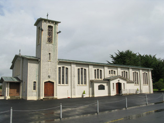 Catholic Church of Saint John the Baptistchurch/chapel · 1509 yd
 Enclosure in Mahoonagh BegEnclosure · 1.1 mi
 TobermurryHoly well · 1.8 mi
 Mayne Ho.Castle, unclassified · 2.2 mi
 Garbally WellSpring · 2.9 mi
 Saint Ite's WellSpring · 3.8 mi
 Ballagh MountainMountain / peak · 4.8 mi
 European ashEuropean ash · 5.1 mi
 Limerick GreenwayWalking route · 6.4 mi
 Sugar HillMountain / peak · 7.1 mi