What is recorded here
No. Of course not. You are right. I should have used the example as the example, not invented a new one.
In pasture, on low-lying flat terrain. Monument, depicted on 1923 OS 6-inch map as embanked circular enclosure (diam. c. 20m), has been levelled. Curve in field boundary NNW->WSW, of earth-and-stone construction (int. H 1.1m; ext. H 1.2m), possibly incorporates enclosing bank; dry-stone field wall abuts external face at ESE. Otherwise No trace of monument evident.
Compiled by: Denis Power
Date of upload: 26 August 2011
The monument record does not grant public access. Check the route and ask the landowner before entering private land.
- What survives
- Recorded monument
Places near here
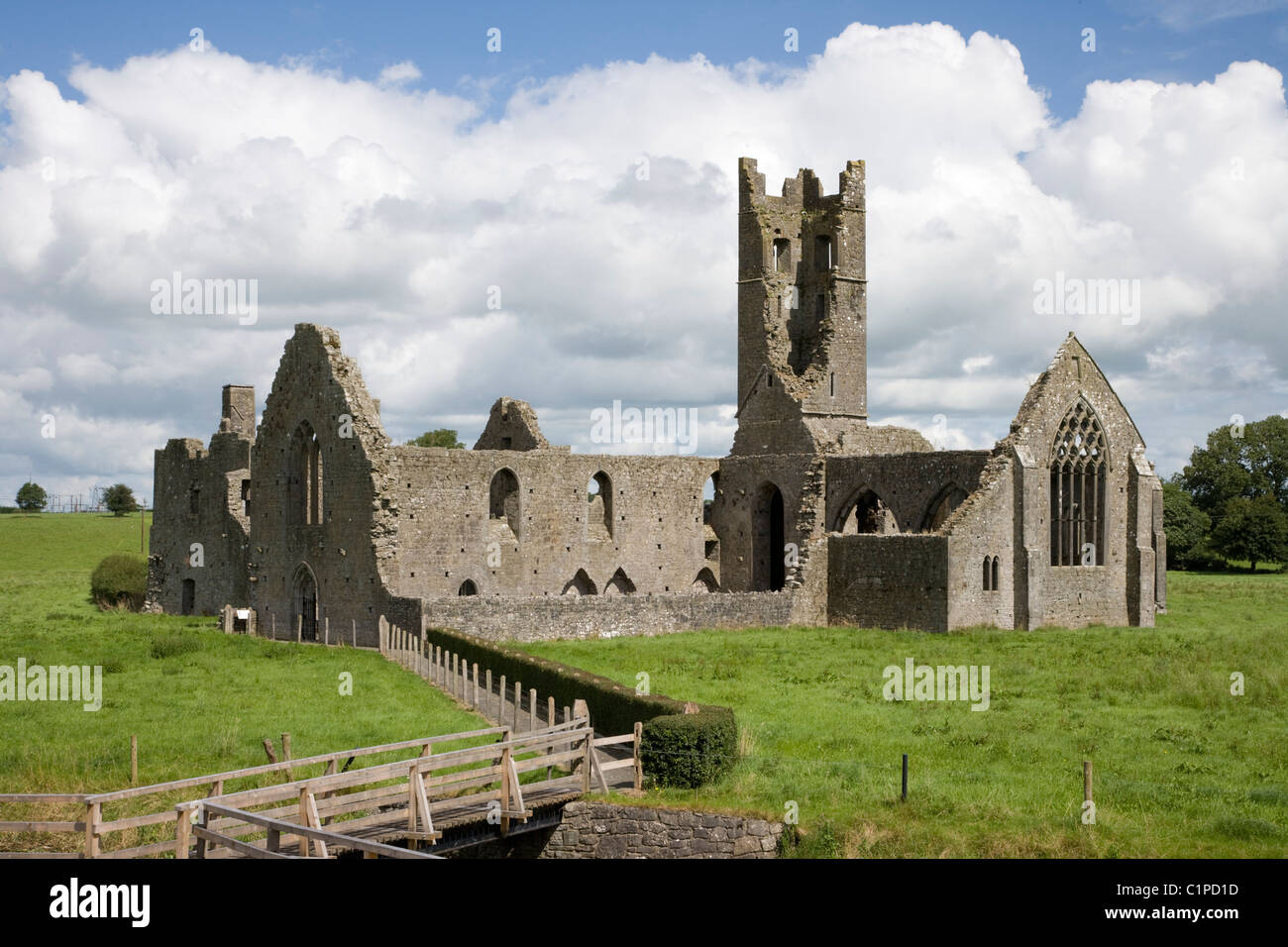 Enclosure in KilbradranEnclosure · 589 yd
 Grave YardGraveyard · 696 yd
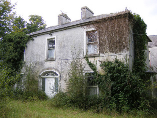 Ballysteen Housecountry house · 930 yd
 Ballyegny Househouse · 1373 yd
 Castle (in ruins)Castle, tower house · 1620 yd
 Site of CastleCastle, unclassified · 1.4 mi
 St. Luke's WellSpring · 2.0 mi
 St. Kieran's WellSpring · 2.8 mi
 Askeaton CastleHeritage attraction · 5.4 mi
 Foynes Flying Boat & Maritime MuseumMuseum · 5.5 mi
 European ashEuropean ash · 5.5 mi
 Monterey CypressMonterey Cypress · 6.1 mi