What is recorded here
No visible entrance. The fort is a broken circle of earth and stone, wide enough for a small house or a starving family, but the missing gap suggests the land itself swallowed the door. The rectangular annex juts west like a forgotten room, perhaps a byre or a place where people stood watching the marsh. That much is visible. The rest belongs to the water, the grass, and the patience of deer.
In area of rough pasture and marsh, on SW side of stream. Circular area (diam. c. 25m) enclosed by earth-and-stone bank (int. H 1.05m; ext. H 1.5m), with external fosse (D 0.4m; Wth 2.6m) SW->SE. Enclosing bank abutted by field boundaries at SW, SE, and N. Interior and enclosing element are covered by dense overgrowth. A scarped edge (H c. 0.55m) extends out from enclosing element at W for 11.8m before turning at right angle to S and running a further 17.4m where it is terminated by E-W field boundary, forming raised rectangular annex.
Compiled by: Denis Power
Date of upload: 26 August 2011
The monument record does not grant public access. Check the route and ask the landowner before entering private land.
- What survives
- Recorded monument
Places near here
 Cushowanhouse · 1094 yd
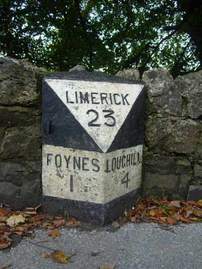 milestone/milepostmilestone/milepost · 1276 yd
 Enclosure in KnockpatrickEnclosure · 1457 yd
 Burnt mound in BallynashBurnt mound · 1548 yd
 Monterey CypressMonterey Cypress · 1687 yd
 Foynes Island ViewpointViewpoint · 1720 yd
 Foynes Flying Boat & Maritime MuseumMuseum · 1.0 mi
 Battery PointHeadland · 1.2 mi
 Foynes IslandIsland · 1.4 mi
 Gammarel PointHeadland · 1.5 mi
 Robertstown Castle (in ruins)Castle, tower house · 2.3 mi
 Loghill HoCastle, unclassified · 2.7 mi