What is recorded here
Mortons and others have strengthened the outer bank, suggesting the site remained useful long after its first building. The fort is not a faded ghost but a working edge of the farm, shaped repeatedly by human hands. Its double defence and hidden second ditch mark it as a place of importance, not a casual enclosure.
On a gentle SE-facing slope in tillage. A slightly raised, sub circular area (int diams. 27m E-W; 25m N-S) is defined by an inner earthen bank (Wth c. 3m; int. H 0.5m; ext. H 1.8m) E-S, and elsewhere by a scarp (H 2.1m), outside of which runs a wide, U-shaped fosse (Wth 7m), and a second, outer, earthen bank (Wth 4.5m; int. H 1m; ext. H 0.75m), which is overlain by field-cleared material at WSW. The inner enclosing element is densely overgrown with blackthorn and briar NE-E-SE. A short arc of lush vegetation growth at NW may indicate the line of a second, outer fosse, which is not visible elsewhere at ground level.
Compiled by: Gearóid Conroy
Date of upload: 10 June 2011
The monument record does not grant public access. Check the route and ask the landowner before entering private land.
- What survives
- Recorded monument
Places near here
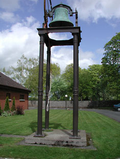 Catholic Church of the Holy Familybell tower/stand · 1632 yd
 Church FieldChurch · 1713 yd
 EnclosureEnclosure, large enclosure · 1749 yd
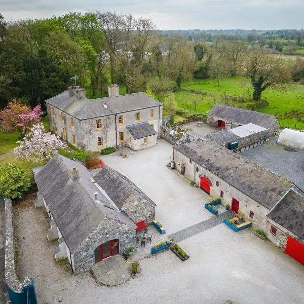 Enclosure in Collinstown (carbury Ed)Enclosure · 1.2 mi
 Castle in RuinsCastle, tower house · 1.4 mi
 Mylerstown Castle in RuinsCastle, tower house · 1.7 mi
 Horse-chestnutHorse-chestnut · 3.6 mi
 The Grill ShackHeritage attraction · 4.6 mi
 Buggan's WoodWood · 4.7 mi
 Cloncurry GraveyardHeritage attraction · 5.4 mi
 Croppies' GraveMemorial · 6.1 mi
 Grand Canal WayVisitor information · 7.9 mi