
What is recorded here
Towards the broader, SW-end of a triangular spur of level pasture approaching the confluence of the Sweep River – flowing NE – and the Fear English River – flowing N. Reported by Jean-Charles Caillere; visible on Google Earth aerial imagery (24-3-2017) as traces of a large circular enclosure (est. diam. c. 130m N-S) defined at W by a low scarp and from NW-NE and SE-S by a narrow fosse. A possible relict field drain runs NE off the fosse at N and possible later drains cross the E sector. LiDAR imagery shows a possible internal oval enclosed area in the W sector and a second, possible rectilinear internal subdivision of the E sector. Relict cultivation ridges are also visible running NW-SE across the site and surrounding field.
See attached image: KD003-048----_01 Snip of Google Earth aerial imagery dated 24-3-2017 with LiDAR image inset.
Compiled by: Gearóid Conroy
Date of upload: 9 June 2023
A large early-medieval ringfort (rath) in Kilmurry, likely dating to between the 5th and 10th centuries. Local tradition associates such sites with fairy dwellings, and this one may have been known as "Donadea," a name possibly linked to the legendary Fianna or other mythic figures.
The monument record does not grant public access. Check the route and ask the landowner before entering private land.
- What survives
- Recorded monument
Places near here
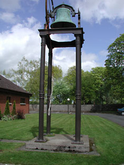 Catholic Church of the Holy Familybell tower/stand · 392 yd
 Enclosure in Kilmurry (donadea Ed)Enclosure · 1459 yd
 Fairy fort / ringfort in Thomastown (cadamstown Ed)Fairy fort / ringfort · 1.1 mi
 Site of CastleCastle, tower house · 1.4 mi
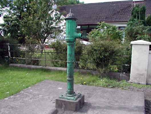 water pumpwater pump · 1.6 mi
 Site of Dunfierth CastleCastle, unclassified · 2.2 mi
 The Grill ShackHeritage attraction · 4.3 mi
 European ashEuropean ash · 4.4 mi
 Cloncurry GraveyardHeritage attraction · 4.5 mi
 Horse-chestnutHorse-chestnut · 4.5 mi
 Croppies' GraveMemorial · 6.1 mi
 Grand Canal WayVisitor information · 8.3 mi
Other information
Photo: Credit not shown in the picture search · Rights wording not checked; contact us if this picture should be removed