What is recorded here
Fairy fort in Ballynamuck, County Cork: a 36-metre earthen ring in level pasture, mapped as an oval in 1842 and still showing a shallow outer ditch. The bank stands one metre high on part of its circle, while a stream runs three metres outside the western edge. It may have been a farmstead, a boundary marker, or a child's climbing ring before adulthood, but the land kept its shape long after the hands that made it forgot their name.
In level pasture. Depicted as hachured oval enclosure on 1842 OS 6-inch map; as hachured arc SW->NW on 1905 OS 6-inch map; as hachured circular area enclosed by fosse on 1937 OS 6-inch map. Circular area (36m N-S; 35.5m E-W) defined by earthen bank (int. H 0.75m; ext. H 1m) WSW->NW; low rise elsewhere. External fosse survives as slight depression (D 0.15m) NW->NE. Stream flows from S->N c. 3m outside W bank.
The above description is derived from the published 'Archaeological Inventory of County Cork. Volume 4: North Cork' (Dublin: Stationery Office, 2000). In certain instances the entries have been revised and updated in the light of recent research.
Date of upload/revision: 14 January 2009
The monument record does not grant public access. Check the route and ask the landowner before entering private land.
- What survives
- Recorded monument
Places near here
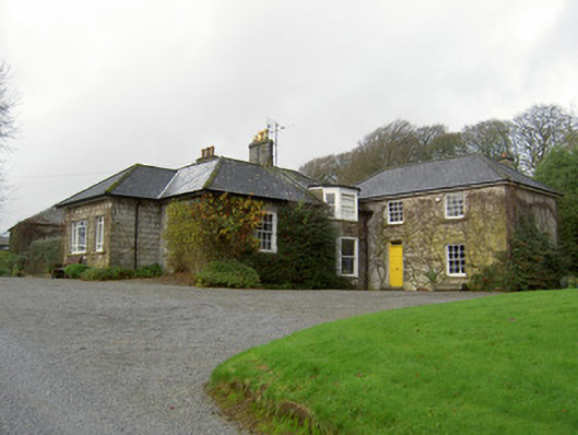 Egmont Cottagehouse · 456 yd
 Churchtown TrailsVisitor information · 632 yd
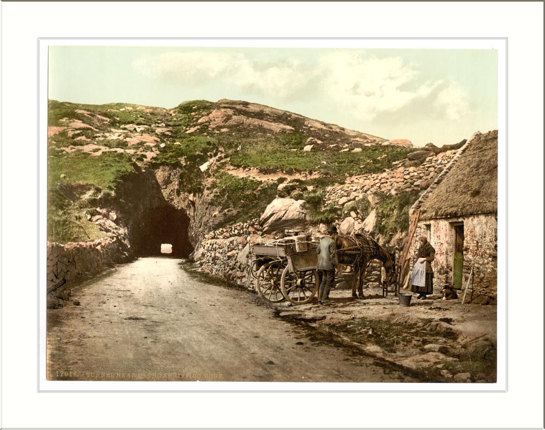 Quarry in ClashelaneQuarry · 662 yd
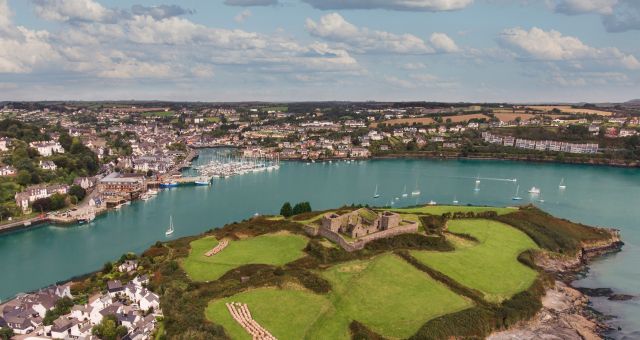 Mound in ClashelaneMound · 875 yd
 IndicatedFairy fort / earthen ringfort · 959 yd
 CarrigadoonCastle, unclassified · 1548 yd
 Templeconnell Castle (in Ruins)Castle, tower house · 1.3 mi
 Ballyhoura WayWalking route · 1.7 mi
 Windmill HillMountain / peak · 1.8 mi
 Lady's WellSpring · 2.0 mi
 Buttevant Rail DisasterMemorial · 2.5 mi
 Battle of LiscarrollMajor battlefield · 2.9 mi