
What is recorded here
Indicated was a thirty-metre fairy fort on an east-facing Cork slope, visible on maps from 1842 until local residents levelled it around 1980. Its earth moved onto a nearby field boundary, hiding the ring but preserving its shape inside ordinary farm land. The loss irritates because human hands erased a marker that had survived centuries of rain and grazing.
In pasture, on E-facing slope. Depicted as hachured sub-square enclosure on E side of field boundary on 1842 OS 6-inch map; indicated as circular enclosure (diam. c. 30m) on 1905 and 1937 OS 6-inch maps. Levelled; arc formed by slight rise marks line of levelled bank to S; material from levelled bank dumped on field boundary to SW, which may incorporate bank. According to local information levelled c. 1980.
The above description is derived from the published 'Archaeological Inventory of County Cork. Volume 4: North Cork' (Dublin: Stationery Office, 2000). In certain instances the entries have been revised and updated in the light of recent research.
Date of upload/revision: 14 January 2009
The monument record does not grant public access. Check the route and ask the landowner before entering private land.
- What survives
- Recorded monument
Places near here
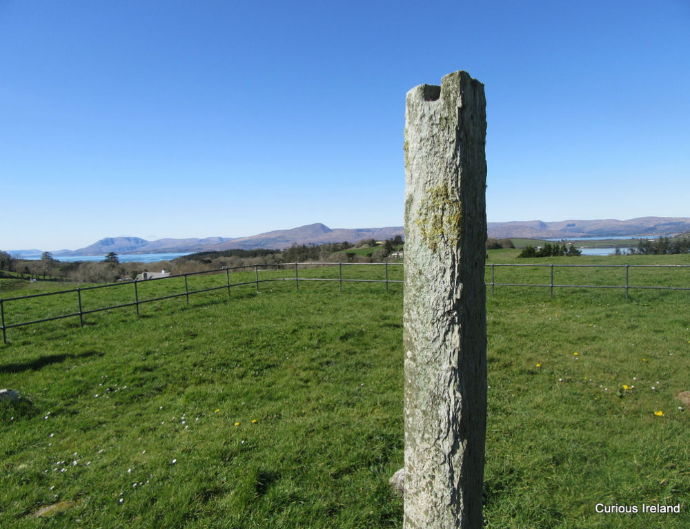 Man-made underground passage (Site of)Man-made underground passage · 398 yd
 Quarry in EgmontQuarry · 484 yd
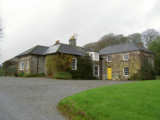 Egmont Cottagehouse · 886 yd
 Grave YardGraveyard · 888 yd
 Churchtown TrailsVisitor information · 1587 yd
 Windmill HillMountain / peak · 1.3 mi
 CarrigadoonCastle, unclassified · 1.4 mi
 Ballyhoura WayWalking route · 1.6 mi
 Templeconnell Castle (in Ruins)Castle, tower house · 1.7 mi
 Lady's WellSpring · 2.5 mi
 Battle of LiscarrollMajor battlefield · 2.6 mi
 Buttevant Rail DisasterMemorial · 3.0 mi
Other information
Photo: Credit not shown in the picture search · Rights wording not checked; contact us if this picture should be removed