What is recorded here
That is the end of the available evidence for this exact place. I will not fill the gap with memory or invention.
Situated on a locally prominent E-W ridge. This is an oval grass-covered area (dims 44m NW-SE; 35m NE-SW) defined by the lip of a bank (int. H 0.1m at SE to c. 0.5m at NW) and a rounded fosse (Wth of top 7-12m; Wth of base c. 2m; int. D 0.7m at NW to 1.5m at SE; ext. D 0.5m) that only survives NW-E-SW. The entrance is a low causeway (Wth of top 3.4m; H 0.5m) at SSW, and the inner edge of the fosse has been quarried SW-W in the distant past.
The above description is derived from the published 'Archaeological Inventory of County Meath' (Dublin: Stationery Office, 1987). In certain instances the entries have been revised and updated in the light of recent research.
Compiled by: Michael Moore
Date of revision: 13 August 2019
Amended: 24 March 2023
The monument record does not grant public access. Check the route and ask the landowner before entering private land.
- What survives
- Recorded monument
Places near here
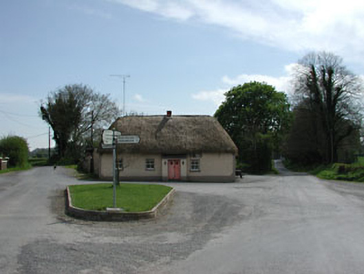 J. Bogganhouse · 1.2 mi
 Font in RathcoreFont · 1.2 mi
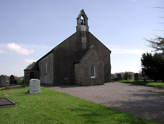 Saint Ultan's Church (Rathcore)church/chapel · 1.2 mi
 Tober UltanHoly well · 1.3 mi
 CastleCastle, motte · 1.6 mi
 Bawn in Newcastle (moyfenrath Lower By.)Bawn · 1.8 mi
 Wych ElmWych Elm · 3.2 mi
 European ashEuropean ash · 3.7 mi
 Cloncurry GraveyardHeritage attraction · 3.7 mi
 Old Bog Road made famous by Teresa Bryton 1868-1943Memorial · 4.7 mi
 Croppies' GraveMemorial · 5.3 mi
 The Grill ShackHeritage attraction · 7.0 mi