What is recorded here
Situated on elevated ground, in pasture, with limited views of the surrounding landscape. Depicted on the 1837 ed. OS 6-inch map as a large circular-shaped earthwork. Shown on the revised 1910 ed. OS 25-inch map as a subcircular-shaped earthwork. Bivallate ringfort described in 1973 as a roughly circular-shaped area (diam. 26m) enclosed by a bank, an intervening fosse and an outer bank. The bank (ext. H 2-3m) is fairly steep on the exterior and the intervening fosse is shallow. There is a low outer bank. The interior of the earthwork is quite uneven and is obscured by vegetation. Monument is visible today as an oval-shaped tree-planted earthwork on Digital Globe aerial photography.
Compiled by Alison McQueen, Vera Rahilly and Caimin O’Brien.
Date of upload: 28 November 2019
The monument record does not grant public access. Check the route and ask the landowner before entering private land.
- What survives
- Recorded monument
Places near here
 Partially indicatedEnclosure · 725 yd
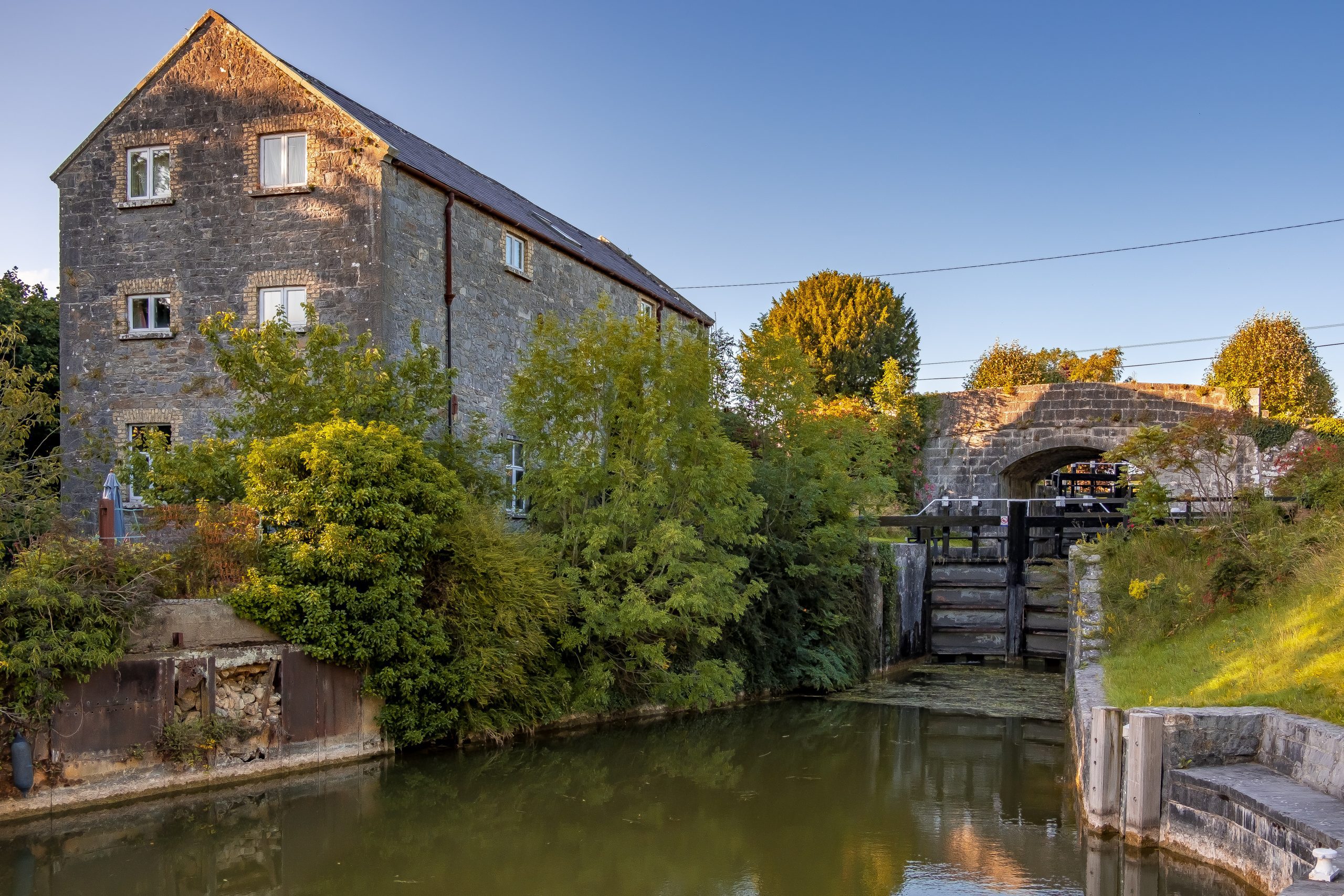 StructureStructure, peatland · 1.2 mi
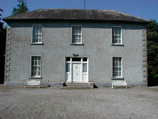 Baltrasna Househouse · 1.5 mi
 Moate HillMountain / peak · 1.6 mi
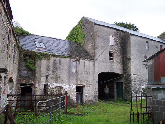 Moate Viewstables, outbuilding · 1.7 mi
 The Bob Traynor GalleryGallery · 1.7 mi
 Charles BianconiMemorial · 1.7 mi
 Bawn in Cartronkeel (clonlonan By.)Bawn · 1.7 mi
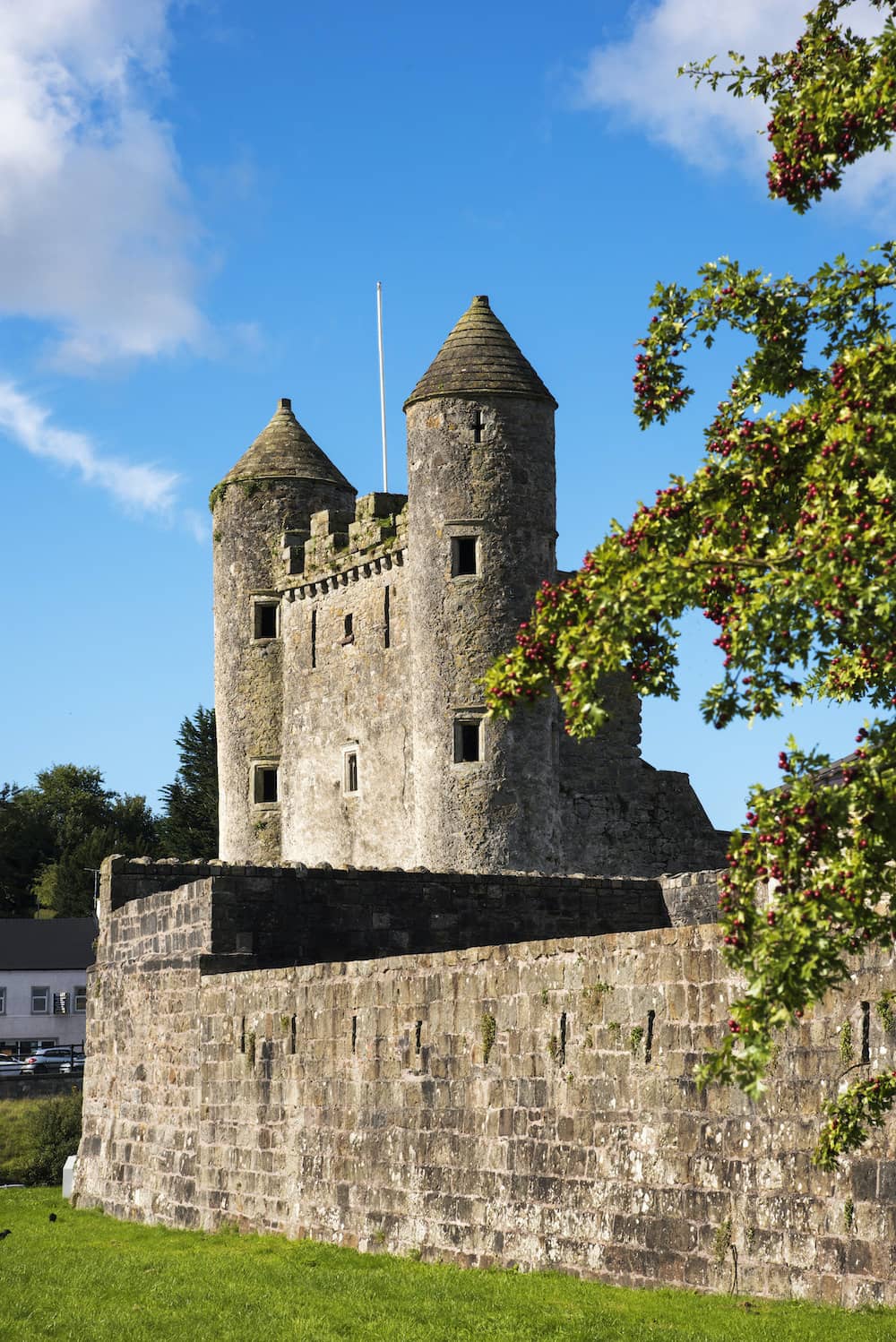 CastleCastle, tower house · 2.0 mi
 Dún na SíMuseum · 2.1 mi
 Inchaloon IslandIslet · 3.7 mi
 European ashEuropean ash · 4.9 mi