What is recorded here
Fairy fort / earthen ringfort in Ballynakill (clonlonan By.) is a fairy fort or earthen ringfort in Ballynakill (clonlonan By.), County Westmeath, Ireland. Situated on a small hillock in rough pasture, it offers extensive views to the north, northeast and east while being overlooked by higher ground to the southeast and south. A 1973 description recorded a raised circular-shaped area measuring thirty-five metres on a northeast to southwest axis and twenty-eight metres on a northwest to southeast axis, defined by a steep scarp three to four metres high with no evidence of an enclosing rounding fosse.
Situated on a small hillock, in rough pasture, with extensive views to N, NE and E and overlooked by higher ground to SE and S. Depicted on the 1837 ed. OS 6-inch map as a circular-shaped earthwork. Shown on the revised 1910 ed. OS 25-inch map as a long oval-shaped earthwork. Monument described in 1973 as a raised circular-shaped area (dims. 35m NE-SW; 28m NW-SE) defined by a steep scarp (H 3-4m) with no evidence of an enclosing rounding fosse. The interior is irregular, rising unevenly towards the centre with cultivation ridges running N-S across the surface. Monument is visible today as a long oval-shaped tree-planted earthwork on Digital Globe aerial photography.
Compiled by Alison McQueen, Vera Rahilly and Caimin O’Brien.
Date of upload: 29 November 2019
The monument record does not grant public access. Check the route and ask the landowner before entering private land.
- What survives
- Recorded monument
Places near here
 Partially indicatedEnclosure · 378 yd
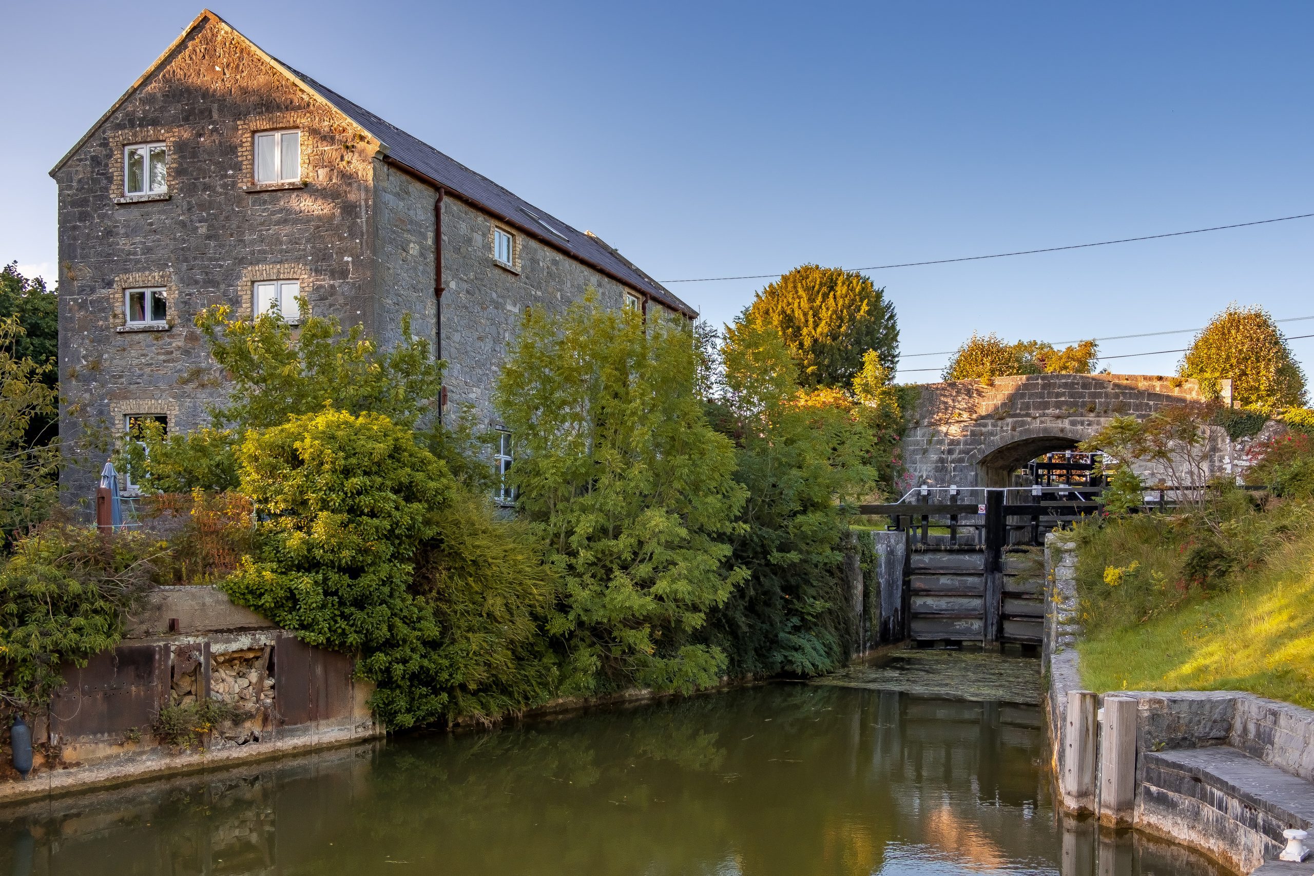 StructureStructure, peatland · 1.2 mi
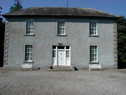 Baltrasna Househouse · 1.4 mi
 Moate HillMountain / peak · 1.6 mi
 Saint Mary's Church (Kilcleagh)church/chapel · 1.7 mi
 The Bob Traynor GalleryGallery · 1.7 mi
 Charles BianconiMemorial · 1.7 mi
 Bawn in Cartronkeel (clonlonan By.)Bawn · 1.8 mi
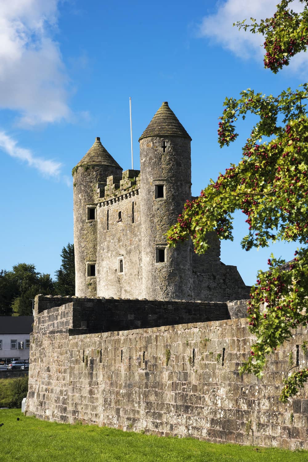 CastleCastle, tower house · 1.8 mi
 Dún na SíMuseum · 2.0 mi
 Inchaloon IslandIslet · 3.9 mi
 European ashEuropean ash · 4.7 mi