What is recorded here
Fairy fort / earthen ringfort in Ballynahow (Bruis parish) is a fairy fort or earthen ringfort in Ballynahow (Bruis parish), County Tipperary, Ireland. The oval site measures 24 metres northeast to southwest and 22 metres northwest to southeast. A scarp four metres wide and 1.5 metres high defines the area, while a fosse nine and a quarter metres wide runs northeast to southwest. The River Ara completes the boundary on the southwest and northeast sides.
In improved pasture, on S-bank of River Ara. Oval area (dims. 24m NE-SW; 22m NW-SE) defined by scarp (Wth 4m; H 1.5m). Scarp is damaged SW-NW and at NE by badger sets and is best preserved (Wth 5.5m; H 2m) W-N. Possible entrance (Wth 2m) at SE. Fosse (overall Wth 9.25m; basal Wth 3.25m; D 0.2m) NNE-WSW and monument is defined by river WSW-NNE. Fosse is slightly damaged at NW due to cutting of a watering point in river bank. Interior uneven as it is riddled with numerous badger sets. Monument fenced off from rest of field. Fence cuts through fosse to E and S.
Compiled by: Jean Farrelly
Date of upload: 26 August 2011
The monument record does not grant public access. Check the route and ask the landowner before entering private land.
- What survives
- Recorded monument
Places near here
 Enclosure in Ballynahow (bruis Par.)Enclosure · 484 yd
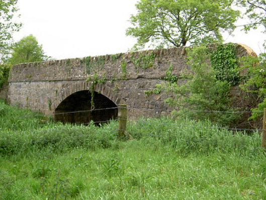 Bohereenbuee Bridgebridge · 969 yd
 Site of CastleCastle, unclassified · 1260 yd
 CrossCross, High cross · 1337 yd
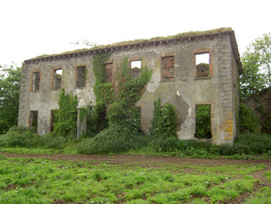 Roesborough Housecountry house · 1757 yd
 MoatCastle, motte · 1.5 mi
 Bansha ForestForest · 2.7 mi
 SlievenamuckMountain / peak · 2.9 mi
 The RockViewpoint · 3.1 mi
 Glen of AherlowViewpoint · 3.2 mi
 Christ the KingViewpoint · 3.2 mi
 Oola HillMountain / peak · 4.6 mi