What is recorded here
Fairy forts are human inventions. That is the trouble with them. They are also the reason they are worth seeing, because people saw something in the shape that resisted ordinary explanation. The measurement removes the magic. The story admits the magic. Both are true. The field keeps both.
On a low rise in pasture. A raised subcircular area (diam. 23.7m) enclosed by a low bank of earth and stone (Wth 4.8m; H 0.4m max.) with a narrow, shallow, external fosse (Wth 2.5m; D 0.25m) from NNE–S–W. A NE–SW running field boundary cuts the monument at NNE and W and while the enclosing elements to the NW of it have been levelled, their outlines are still evident. A report in 1975 (SMR file) recorded a low outer bank; it has also been levelled but its outline (Wth 2.9m) is also still visible. A break (Wth 3.3m) in the bank at ESE with traces of an accompanying causeway may mark the original entrance.
Compiled by: Patrick F. O'Donovan
Date of upload: 23 November 2011
The monument record does not grant public access. Check the route and ask the landowner before entering private land.
- What survives
- Recorded monument
Places near here
 The Mansemanse · 631 yd
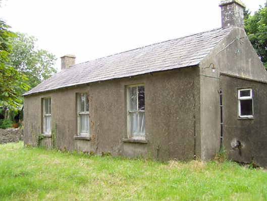 Corboy National Schoolschool · 675 yd
 BarrowBarrow, unclassified · 918 yd
 Enclosure in LisnanaghEnclosure · 1239 yd
 Oldtown DemesneForest · 1.4 mi
 Oldtown CopseWood · 1.5 mi
 Moat & CastleCastle, motte and bailey · 1.7 mi
 Bawn in LissardowlanBawn · 2.0 mi
 Bully's Acregraveyard/cemetery, unknown · 4.7 mi
 National Famine WayWalking route · 5.2 mi
 Graveyard in Curry (ardagh By., Coolamber Ed)Graveyard · 6.4 mi
 Granard MotteMotte-and-bailey castle remains · 8.3 mi