What is recorded here
Denis Power documented the Ballynagaul ringfort in 2011, revealing a twenty-four-metre circular scar cut into a small hillock. The earthy bank rises one metre externally but drops to forty-five centimetres internally, creating a shallow basin that slopes gently southward under the grass. This asymmetrical shape suggests human hands shaped the land rather than natural erosion, yet the eastern boundary remains truncated by a modern field marker. The fort stands as a quiet wound in the pasture, preserving the ghost of a dwelling that time has half-erased.
Atop small hillock, in undulating pasture. Circular area (23m N-S; 24m E-W) enclosed NW->SE by earthen bank (int. H 0.45m; ext. H 1.1m) and defined SE->NW by scarped edge (H 2.7m; Wth 6m). Bank truncated by field boundary at E edge. Interior, under grass, slopes down gently to S.
Compiled by: Denis Power
Date of upload: 26 August 2011
The monument record does not grant public access. Check the route and ask the landowner before entering private land.
- What survives
- Recorded monument
Places near here
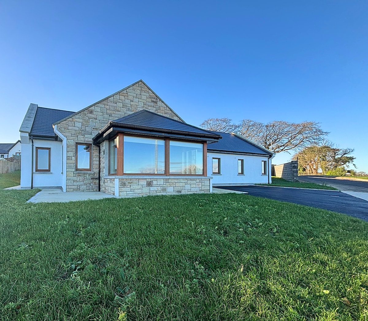 Enclosure in BallynagaulEnclosure · 182 yd
 LisnagrewArchaeological place · 800 yd
 Fort Shannonhouse · 913 yd
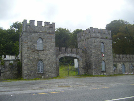 Glin Castlegate lodge · 1665 yd
 Tarbet BayBay · 1.7 mi
 Bawn in Killacolla (barker)Bawn · 1.8 mi
 Tarmon Castle (in ruins)Castle, unclassified · 2.0 mi
 Mountshannon WoodWood · 3.4 mi
 Mountshannon PointHeadland · 3.7 mi
 Prospect HillMountain / peak · 4.0 mi
 TobercloonaghSpring · 4.2 mi
 Mountshannon EstateHeritage attraction · 4.7 mi