What is recorded here
From OpenStreetMap (© OpenStreetMap contributors) w965457865
Places near here
Photo credits
- National Inventory of Architectural Heritage
- P L Chadwick, Wikimedia Commons · CC BY-SA 2.0
- Graham Horn, Geograph · Creative Commons Attribution-ShareAlike 2.0
- Graham Horn, Geograph · CC BY-SA 2.0
- Tiger, Geograph · CC BY-SA 2.0
- Arcaist, Wikimedia Commons · CC BY-SA 3.0
- Chris, Geograph · CC BY-SA 2.0
- Borvan53, Wikimedia Commons · CC BY-SA 3.0
- Colin Park, Geograph · CC BY-SA 2.0
- P L Chadwick, Geograph · CC BY-SA 2.0
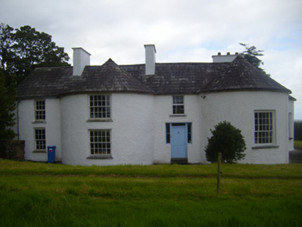 Fort ShannonHouse · 1714 yd
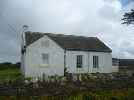 Ballygoghlan National SchoolSchool · 1.2 mi
 Clonderalaw BayBay · 4.4 mi
Explorer Tom Clonderalaw Bay offers a gentle curve of water in County Clare, perfect for spotting seabirds from the shore.
 Grave YardGraveyard · 4.7 mi
Explorer Tom Graveyard in Killofin sits on a raised spot in Killofin, offering lovely views south over the Shannon estuary towards Limerick.
 Labasheeda BayBay · 5.3 mi
Explorer Tom Labasheeda Bay is where the road crosses its head at low tide, offering a glimpse of the Shannon estuary in the distance.
 Labasheeda QuayVisitor information · 5.7 mi
Explorer Tom Labasheeda Quay has me checking the name twice; the account will not tell me if a rat ever set paw here.
 St Senan's WellSpring · 6.1 mi
Explorer Tom St Senan's Well has caught my eye in County Clare. I bet a spring with a name like that could keep me talking all afternoon; I'm already inventing a daft little scene for it, and I'll stop before it turns into history.
 Carrigafoyle CastleCastle · 7.0 mi
 Carrigafoyle Cas. (in ruins)Castle, tower house · 7.0 mi
 Siege of Carrigafoyle CastleSiege · 7.0 mi
 Carrig IslandIsland · 7.2 mi
 Scattery Island Visitor CentreVisitor information · 8.7 mi
Explorer Tom Scattery Island Visitor Centre has me thinking it's a place where tourists get lost in the fog; the account says it's only open in certain seasons.
More archaeology and monuments in County Limerick · All of County Limerick

What do you know about this place?Tap to add a comment or ask a question