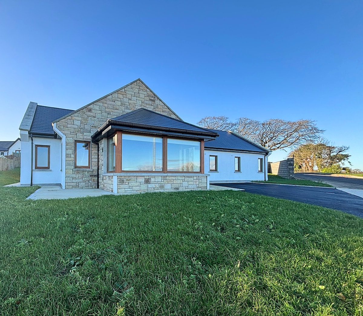
What is recorded here
In undulating pasture. Oval area (40m E-W; 30m N-S) defined by scarped edge (H 3.1m; Wth 13m) W->E, and enclosed by earthen bank (int. H 0.8m; ext. H 0.7m) with external fosse (D 0.5m; Wth 2m) E->W. Recently constructed farm trackway (Wth 2m) now crosses enclosure at mid-point on E-W axis. Field boundary runs immediately outside fosse E->W. Scarped face quarried in parts and uneven surface of interior on N side may also be result of surface quarrying.
Compiled by: Denis Power
Date of upload: 26 August 2011
A local fairy fort (ringfort/rath); wider significance not recorded.
The monument record does not grant public access. Check the route and ask the landowner before entering private land.
- What survives
- Recorded monument
Places near here
 LisnagrewArchaeological place · 764 yd
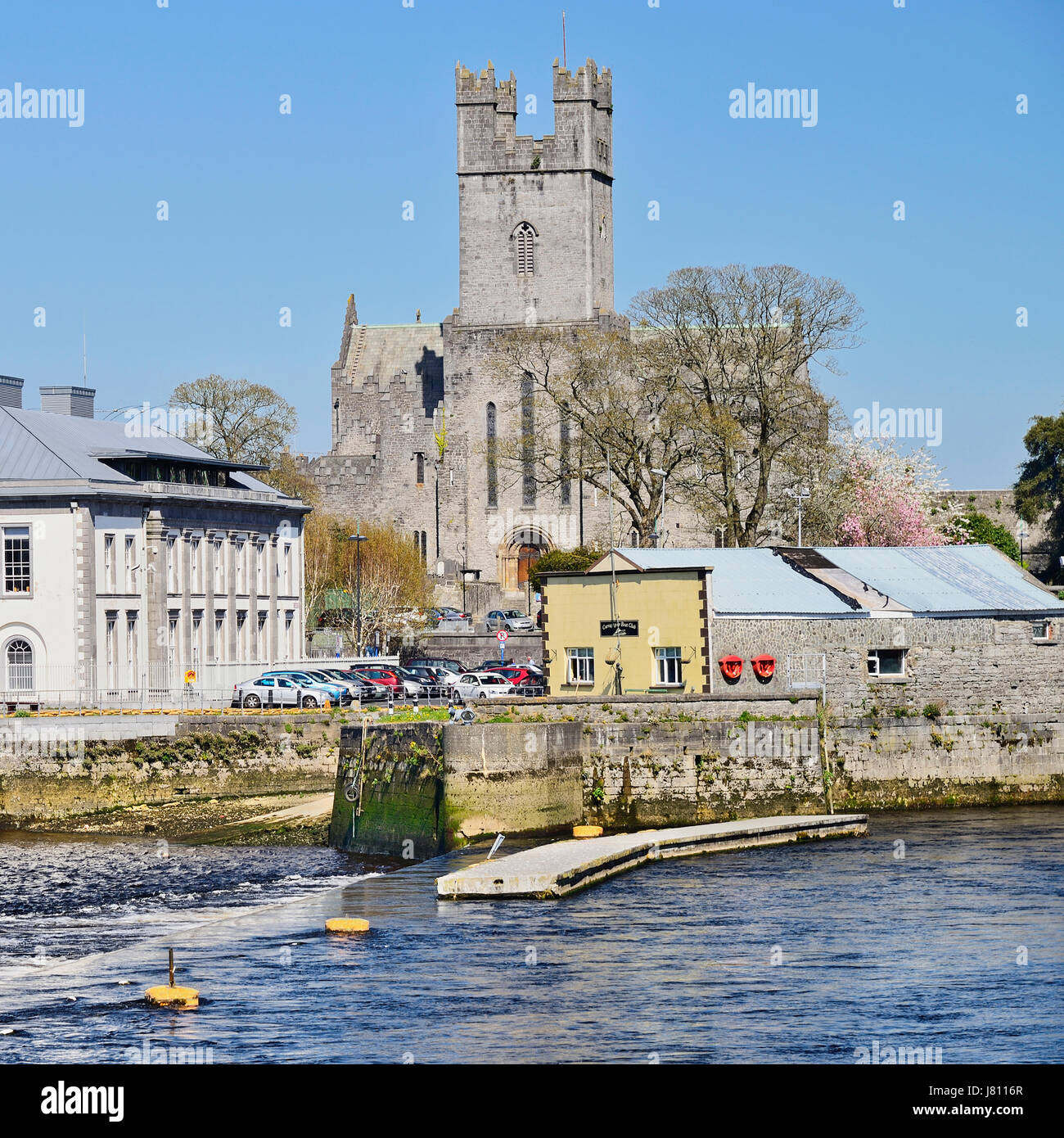 Lissagutta- HachuredFairy fort / earthen ringfort · 912 yd
 Fort Shannonhouse · 983 yd
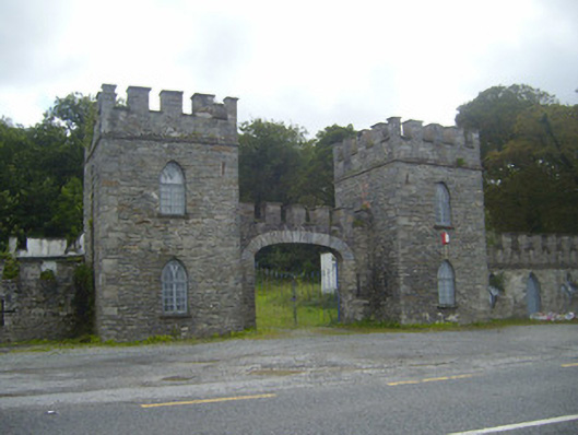 Glin Castlegate lodge · 1651 yd
 Bawn in Killacolla (barker)Bawn · 1.8 mi
 Tarbet BayBay · 1.8 mi
 Tarmon Castle (in ruins)Castle, unclassified · 2.0 mi
 Mountshannon WoodWood · 3.4 mi
 Mountshannon PointHeadland · 3.8 mi
 Prospect HillMountain / peak · 4.0 mi
 TobercloonaghSpring · 4.1 mi
 Mountshannon EstateHeritage attraction · 4.7 mi
Other information
Photo: Credit not shown in the picture search · Rights wording not checked; contact us if this picture should be removed