What is recorded here
Fairy forts are human ringforts misnamed because people stopped remembering the hands that built them. In Ballynagaul that forgotten handwork remains a circular earth and stone bank beside a narrow fosse, with a smaller inner circle that may have marked a hut. The field around it has probably been grazed for centuries, changing the shape of memory more often than the shape of the bank.
In pasture, on SE-facing slope. Circular area (45m N-S; 43.4m E-W) enclosed by earth and stone bank (H 1.5m); with external fosse (D 1.5m) SE->W. Gap in bank to N and WSW; possible entrance to ESE. In centre of interior, low earthen bank enclosing circular area (diam. 7.7m) may be remains of hut site.
The above description is derived from the published 'Archaeological Inventory of County Cork. Volume 2: East and South Cork' (Dublin: Stationery Office, 1994). In certain instances the entries have been revised and updated in the light of recent research.
Date of upload/revision: 14 January 2009
The monument record does not grant public access. Check the route and ask the landowner before entering private land.
- What survives
- Recorded monument
Places near here
 IndicatedFairy fort / earthen ringfort · 130 yd
 Country house in Ballynagaul (barrymore By., Kilquane Par.)Country house · 417 yd
 Church (Site of)Church · 1423 yd
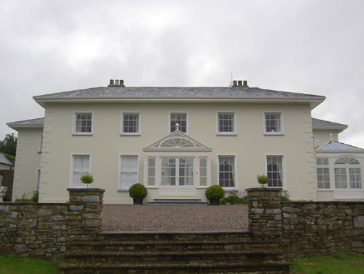 Brookvillecountry house · 1.2 mi
 Carberrytown WoodWood · 1.2 mi
 Gleeson MemorialMemorial · 1.2 mi
 Old Court (Site of)Castle, unclassified · 1.7 mi
 Sarsfields Court (in Ruins)Castle, unclassified · 2.8 mi
 Lough MahonBay · 4.1 mi
 Rochestown WoodWood · 5.1 mi
 Goat IslandIslet · 5.9 mi
 Cork WalksVisitor information · 6.4 mi